
Silver Peak is an unincorporated community and census-designated place (CDP) in Esmeralda County, Nevada, United States. It lies along State Route 265, 20 miles (32 km) south of U.S. Route 6 and 30 miles (48 km) west of Goldfield, the county seat of Esmeralda County. It has a post office, with the ZIP code of 89047. The population of Silver Peak was 142 as of 2019.

Millers is a ghost town located in Esmeralda County, Nevada. Deserted today, Millers sprang up as a mining boomtown after the Tonopah boom began. A highway rest stop is located there, resulting in Millers still being listed on many travel maps.

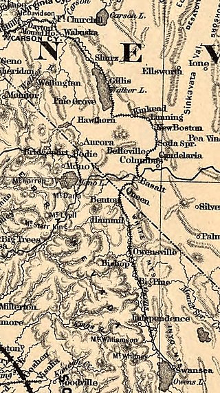
Candelaria is a ghost town in Mineral County, Nevada. Today the site of Candelaria is dominated by the Kinross Gold Candelaria Mine on Mt. Diablo.

The Potosi Mining District, or Potosi, was an area in Clark County of southern Nevada, U.S. It is listed on the National Register of Historic Places and includes three structures. The town was named after the famous silver-mining city of Potosi, Bolivia.
The Buena Vista Mine is located 21 miles (34 km) southeast of Lovelock, Nevada. In the past, the area has been known as the Mineral Basin, though another name for the area has been the Buena Vista District. There are at least two other Buena Vista Mining Districts in Nevada; one is located near Unionville, Nevada, and the other is located in Esmeralda and Mineral counties near the California border. The nearby Buena Vista Hills are named for the mine. The district encompasses roughly 21 square miles (54 km2) of mineral and surface rights, and is one of the largest un-mined iron ore resources in the western United States.

El Dorado Canyon is a canyon in southern Clark County, Nevada famed for its rich silver and gold mines. The canyon was named in 1857 by steamboat entrepreneur Captain George Alonzo Johnson when gold and silver was discovered here. It drains into the Colorado River at the former site of Nelson's Landing.

Toulon is a former non-agency railroad station in Pershing County, Nevada, United States.
Thorne, Nevada is a rail junction and former town located in Mineral County, Nevada.
Basalt is a formerly populated place located in Mineral County, Nevada.
Rand is an extinct town in Mineral County, in the U.S. state of Nevada. The GNIS classifies Rand as a populated place with a "RR Locale" description. Rand was a station on the Carson and Colorado Railway.
Hardin City was the site of a Nevada silver mining boom town from 1859 until about 1868. Hardin City was located on the western slope of the Black Rock Range in the Black Rock Desert.
Athens is a former mining settlement in Nye County, Nevada. It was established after a boom in 1910, but was deserted that same year. After the Warrior mine was founded, Athens revived and was inhabited until 1939, when the mining operations were ceased.
Eagleville is a former populated place in Mineral County, Nevada, that is now a ghost town.
Hilltop is an extinct town in Lander County in the U.S. state of Nevada. The Geographic Names Information System classifies it as a populated place. It was named for its lofty elevation.
Lodi is an extinct town in Nye County, in the U.S. state of Nevada. The GNIS classifies it as a populated place.
Farrell is a ghost town in Pershing County, Nevada, United States.
Tempiute is a ghost town in Lincoln County, Nevada United States.

Mineral Hill is a ghost town in Eureka County, Nevada, US.
Pyramid City is a ghost town located south of Sutcliffe, Nevada. This location was also sometimes known as Pyramid and should not be confused with Pyramid, Nevada, located north of Sutcliffe. Pyramid City consisted of two mining camps, Upper Pyramid and Lower Pyramid, also known as Pyramid City.

Grantsville is a former town in Nye County, Nevada.


