
Catawba is a town in Catawba County, North Carolina, United States. The population was 603 at the 2010 census. It is part of the Hickory–Lenoir–Morganton Metropolitan Statistical Area. As with the county, the name recalls the Catawba people, the indigenous people who once inhabited the area.

Earl is a town in Cleveland County, North Carolina, United States. The population was 260 at the 2010 census.

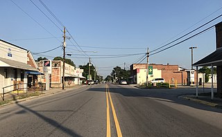
Fallston is a hamlet in Cleveland County, North Carolina, United States. The population was 607 at the 2010 census.

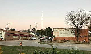
Mooresboro is a town in Cleveland County, North Carolina, United States. The population was 311 at the 2010 census.
Cerro Gordo is a town in Columbus County, North Carolina, United States. The population was 131 at the 2020 census.

Rural Hall is a town in Forsyth County, North Carolina, United States. It is a part of the Piedmont Triad. The population was 3,360 at the 2020 census. The town has one public park: Covington Memorial Park.
Bunn is a town in Franklin County, North Carolina, United States. The population was 327 at the 2020 census.
Youngsville is a town in Franklin County, North Carolina, United States. The population was 2,016 at the 2020 census.
Princeton is a town in Johnston County, North Carolina, United States. As of the 2010 census it had a population of 1,194. Each May the town celebrates Princeton Community Day, a festival dedicated to promoting community involvement and town pride. The town holds municipal elections in November in odd-number years to elect its mayor and town council.
Seaboard is a town in Northampton County, North Carolina, United States, created as a company town by the Seaboard and Roanoke Railroad, approximately 10 miles northeast of Weldon in the mid-1840s as a place for railroad employees to live.
Severn is a town in Northampton County, North Carolina, United States. The population was 276 at the 2010 census. It is part of the Roanoke Rapids, North Carolina Micropolitan Statistical Area. Severn is the home of Severn Peanut Corporation, the owners of the Hampton Farms brand of roasted peanuts.

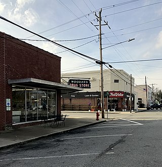
Ramseur is a town in Randolph County, North Carolina, United States. The population was 1,692 at the 2010 census.

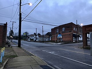
Randleman is a city in Randolph County, North Carolina, United States. The population was 4,113 at the 2010 census. It is the home of NASCAR's Petty family, the Victory Junction Gang Camp and was the location of the Richard Petty Museum from 2003 to 2014.

Proctorville is a town in Robeson County, North Carolina, United States. The population was 121 at the 2020 census.

Raynham is a town in Robeson County, North Carolina, United States. The population was 60 at the 2020 census.
Rowland is a town in Rowland Township, Robeson County, North Carolina, United States. The population was 885 at the 2020 census.

Garland is a town in Sampson County, North Carolina, United States. The population was 595 at the 2020 census.

Seven Springs is a town in Wayne County, North Carolina, United States. It lies next to the Neuse River. The 2012 population was estimated at 111. It is included in the Goldsboro, North Carolina Metropolitan Statistical Area.

Hilda is a town in Barnwell County, South Carolina, United States. The population was 447 at the 2010 census..
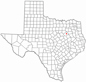
Powell is a town in Navarro County, Texas, United States. The population was 99 at the 2020 census.

