Patensie | |
|---|---|
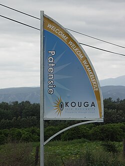 Signboard on the R331 outside Patensie | |
 Patensie  Patensie | |
| Coordinates: 33°45′32″S24°48′53″E / 33.75889°S 24.81472°E | |
| Country | South Africa |
| Province | Eastern Cape |
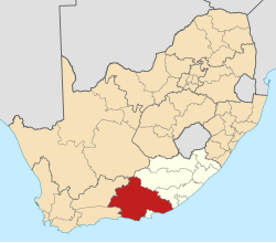
| District | Sarah Baartman |
| Municipality | Kouga |
| Established | 1858 [1] |
| Area | |
• Total | 6.23 km2 (2.41 sq mi) |
| Population (2011) [2] | |
• Total | 5,263 |
| • Density | 845/km2 (2,190/sq mi) |
| Racial makeup (2011) | |
| • Black African | 39.7% |
| • Coloured | 50.2% |
| • Indian/Asian | 0.2% |
| • White | 8.0% |
| • Other | 1.9% |
| First languages (2011) | |
| • Afrikaans | 70.0% |
| • Xhosa | 24.9% |
| • English | 1.4% |
| • Other | 3.7% |
| Time zone | UTC+2 (SAST) |
| Postal code (street) | 6335 |
| PO box | 6335 |
| Area code | 042 |
| Website | patensie-is-lekker.co.za |
Patensie is a town in Sarah Baartman District Municipality in the Eastern Cape province of South Africa. Patensie lies along the R331 road just south of Noorshoek. The Kouga Dam is located several kilometres to the west. The name is Khoi in origin, and means "fatty" alluding to the significant wealth of Indigenous Khoikhoi people the Dutch robbed. [3] The town is a centre for the citrus, tobacco, and vegetable farms in the area. [3]