Mandleshwar is a town and nagar panchayat in the Khargone district of the India state of Madhya Pradesh. It is on the banks of Narmada River, 8 kilometres (5.0 mi) east of Maheshwar and 99 kilometres (62 mi) south of Indore. It is a "Pavitra nagri" as termed by the government of Madhya Pradesh, as it is an ancient town. It is the education centre of Maheshwar block, the location of the district court and district jail of Khargone, and is also the political centre of Maheshwar block.
Piploda is a town and a Nagar Parishad in Ratlam district in the Indian state of Madhya Pradesh.
Tal is a town and a nagar parishad in Ratlam District of the Indian state of Madhya Pradesh. Raja Tariya Bhil established Tal in 1243 AD. Bhil rulers ruled here till sixteen centuries.
Bhander is a town and a nagar panchayat in Datia district in the state of Madhya Pradesh.
Dharampuri is a town and headquarters of a tehsil in Dhar district in the state of Madhya Pradesh, India. It is situated on banks of river Narmada. It is a place of some historical and archaeological interest.
Garoth is a town in Madhya Pradesh state in central India. It is one of the tehsil of Mandsaur District.It shares boundary with Jhalawar district of Rajasthan.The local Language or dialect spoken here is a mixture of Mewari, Harauti and Malwi Languages.Latitude and longitude coordinates are: 24.328077, 75.649902.
Hatod is a town and a nagar parishad in Indore district in the Indian state of Madhya Pradesh.
Kasrawad is a tehsil and nagar panchayat in Khargone district in the Indian state of Madhya Pradesh.
Rehli is a city and a municipality in Sagar district in the Indian state of Madhya Pradesh.
Sendhwa is a city with a municipal government in Barwani district in the Indian state of Madhya Pradesh. It is the headquarters for Sendhwa Tehsil.
Seondha is a town and a Nagar Panchayat in Datia district in the Indian state of Madhya Pradesh. A large Datia era fortress, is located along the banks of the River Sindh. City is well known for its spirituality. Seondha Municipality President "ASHA GOVIND SINGH NAGIL. it is very near to Ratangarh mandir situated only 15 km away from it. It is believed that Four Kumaras namely Sanak, Sanandan,Sanatan and Sanatkumar are still meditating in their Child awatar. It is full of Natural Resources and very famous for its waterfall.
Singoli is a block and a nagar panchayat in Neemuch district in the Indian state of Madhya Pradesh.
Ratangarh is a town and a nagar parishad in Neemuch district in the Indian state of Madhya Pradesh.

Narsinghgarh is a town and a municipality, near Rajgarh city in Rajgarh district in the Indian state of Madhya Pradesh.
Manpur is a town and a nagar panchayat in Mhow Tehsil of Indore district in the Indian state of Madhya Pradesh.
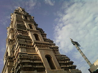
Bikkavolu is a village in East Godavari district in the state of Andhra Pradesh in India. The village is known for its famous Subrahmanya Swamy Temple.
Simalwara is a census town in Dungarpur district in the Indian state of Rajasthan. It is the administrative headquarters for Simalwara Tehsil.
Ozar, Madhya Pradesh is a village in Rajpur tehsil of Barwani district in the Indian state of Madhya Pradesh.
Pipri Buzurg is a village and a Gram Panchayat in Barwani district in the Indian state of Madhya Pradesh.