The line operated by the Shamokin Valley Railroad was formerly part of Conrail. SEDA-COG JRA (Susquehanna Economic Development Association - Council of Governments Joint Rail Authority) was formed in July, 1983 to continue to provide rail service to communities whose rail lines Conrail had decided to abandon. In 1989 the JRA took over the line when Conrail abandoned it, and the Shamokin Valley Railroad was born as its third railroad.
Northumberland County is a county in the Commonwealth of Pennsylvania. As of the 2020 census, the population was 91,647. Its county seat is Sunbury. The county is part of the Central Pennsylvania region of the state.
Washington Township is a township in Lycoming County, Pennsylvania, United States. The population was 1,769 at the 2020 census. It is part of the Williamsport Metropolitan Statistical Area.
Mount Carmel is a borough in Northumberland County, located in the Coal Heritage Region of Central Pennsylvania's Susquehanna River Valley, United States. The population was 5,725 at the 2020 census. It is located 88 miles (141 km) northwest of Philadelphia and 71 miles (114 km) northeast of Harrisburg, in the Coal Region. It is completely encircled by Mount Carmel Township.
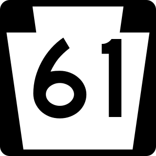
Pennsylvania Route 61 is an 81.8-mile-long (131.6 km) state highway that is located in Pennsylvania in the United States. The route is signed north-south despite running in a northwest-southeast direction from U.S. Route 222 Business in Reading to US 11/US 15/PA 147 in Shamokin Dam.
Pennsylvania Route 54 is a state highway which runs for 82 miles (132 km) in eastern Pennsylvania in the United States.
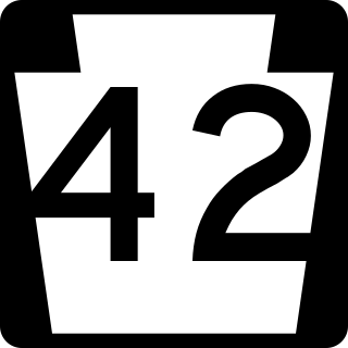
Pennsylvania Route 42 is a 58.6-mile-long (94.3 km) state route that is located in central Pennsylvania. The southern terminus of the route is situated at PA 61 in Centralia. The northern terminus is located at U.S. Route 220 in Laporte.
The North Shore Railroad is a short line railroad that operates 44 miles (71 km) of track in Northumberland, Montour, Columbia, and Luzerne counties in Pennsylvania in the United States. The line runs generally northeast between Northumberland and the unincorporated village of Beach Haven in Salem Township.
The Lycoming Valley Railroad is a short line that operates 38 miles (61 km) of track in Lycoming and Clinton counties in Pennsylvania in the United States. It is part of the North Shore Railroad System.
The Union County Industrial Railroad is a shortline railroad that operates on approximately 12 miles (20 km) of track in Union County in the U.S. State of Pennsylvania. It is part of the North Shore Railroad System.
The Juniata Valley Railroad is a short line that operates 11 miles of track in Mifflin County, Pennsylvania in the United States. It is part of the North Shore Railroad System.
The Nittany and Bald Eagle Railroad is a short line railroad that operates 73 miles (117 km) of track in Blair, Centre, and Clinton counties in Pennsylvania in the United States. It is part of the North Shore Railroad System.
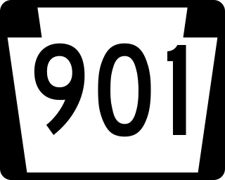
Pennsylvania Route 901 is a 26.4-mile-long (42.5 km) state route located in eastern Pennsylvania. The western terminus of the route is at PA 61 in the Coal Township hamlet of Ranshaw. Its eastern terminus is at PA 183 in Cressona. PA 901 runs northwest-southeast through forested mountains in the Coal Region within Northumberland and Schuylkill counties. The route runs concurrent with PA 54 between Locust Gap and Merrian in Mount Carmel Township before it leaves Northumberland County for Schuylkill County. PA 901 has an interchange with Interstate 81 (I-81) and continues southeast to Minersville. The route runs concurrent with U.S. Route 209 to Pottsville before it splits south and continues to PA 183.
Shamokin Creek is a tributary of the Susquehanna River in Northumberland County, Pennsylvania, in the United States. It is approximately 32.4 miles (52.1 km) long and flows through Mount Carmel, Mount Carmel Township, Coal Township, Shamokin, Ralpho Township, Shamokin Township, Snydertown, Upper Augusta Township, and Sunbury. The watershed of the creek has an area of 137 square miles (350 km2). It experiences significant impacts by abandoned mine drainage and many abandoned mine drainage discharges are in its watershed. Various other impairments also affect parts of the creek's watershed. Shamokin Creek is in the Appalachian Mountains section of the Ridge and Valley physiographic province. Rock formations consisting of sandstone, shale, and anthracite deposits occur in the watershed.
The Sunbury Line, formerly known as Sunbury Subdivision, is a rail line owned and operated by Norfolk Southern Railway which in turn is owned by the Norfolk Southern Corporation. The line travels from Sunbury, Pennsylvania, to Binghamton, New York, connecting with Norfolk Southern's Southern Tier Line at Binghamton and Norfolk Southern's Buffalo Line at Sunbury.
Pennsylvania Route 147 is a north–south route that runs for 58.3 miles (93.8 km) along the east shore of the Susquehanna River in central Pennsylvania, United States. The southern terminus is at an interchange with U.S. Route 22 /US 322 in Reed Township. The northern terminus is at an interchange with Interstate 80 (I-80) and I-180 in Turbot Township.
Pennsylvania Route 487 is a 64.2-mile-long (103.3 km), north–south state highway running from PA 61 in Shamokin Township, Northumberland County, to PA 87 in Dushore, Sullivan County. In Bloomsburg, PA 487 and US 11 share a brief wrong-way concurrency. After its brief concurrency with PA 118, PA 487 goes up a steep grade through Ricketts Glen State Park. PA 487 is used to carry traffic up the Fishing Creek valley.
The North Shore Railroad System in the United States includes the following short lines:
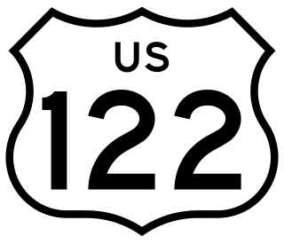
U.S. Route 122 was a United States Numbered Highway that was a spur of US 22. Located in the state of Pennsylvania, it existed from 1935 to 1963. At its greatest extent, the route ran from US 1 and Pennsylvania Route 472 in Oxford north to US 11 and PA 14 in Northumberland. Along the way, US 122 passed through Parkesburg, Honey Brook, Morgantown, Reading, Hamburg, Schuylkill Haven, Pottsville, Frackville, Ashland, Centralia, Mount Carmel, Shamokin, and Sunbury.
The Sunbury and Lewistown Railroad was a Class I Railroad connecting Lewistown, Pennsylvania with Sunbury, Pennsylvania. Completed in December 1871, the line was placed under an immediate lease by the Pennsylvania Railroad (PRR), upon its completion. Although retaining its own board of directors and track maintenance, all locomotive traffic was owned by the PRR. For over eighty years, the line operated between Sunbury and Lewistown, serving as a relief line for both the Philadelphia Main Line and Bald Eagle Valley Railroad through Williamsport, Pennsylvania. The line was noteworthy as a proving ground for new railroad technology in the United States, such as the X-shaped railroad crossing signs in 1917 and Pulse Code Cab Signaling technology in 1925. It is now a fallen flag railway, the name "Sunbury and Lewistown" having been phased out in 1901 when the line became part of the Pennsylvania Railroad's Sunbury Division.
This page is based on this Wikipedia article Text is available under the CC BY-SA 4.0 license; additional terms may apply. Images, videos and audio are available under their respective licenses.