| Snake River | |
| River | |
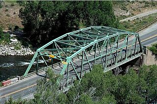
 Snake River near Keystone | |
| Tributaries | |
| - left | Deer Creek, Soda Creek |
| - right | North Fork Snake River |
| Source | |
|---|---|
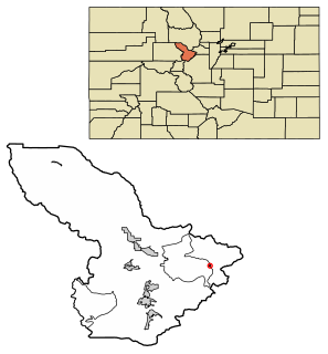
| - location | Summit County, Colorado |
| - coordinates | 39°32′01″N105°51′16″W / 39.53361°N 105.85444°W |
| Mouth | Dillon Reservoir |
| - location | Confluence with Blue at Dillon Reservoir |
| - elevation | 9,022 ft (2,750 m) |
| - coordinates | 39°36′55″N106°03′15″W / 39.61528°N 106.05417°W Coordinates: 39°36′55″N106°03′15″W / 39.61528°N 106.05417°W [1] |
| Length | 15 mi (24 km) |
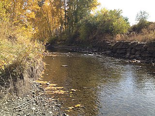
The Snake River is a short tributary of the Blue River, approximately 15 miles (24 km) long, in central Colorado in the United States. It drains a mountainous area on the west side of the Front Range in southeastern Summit County east of Keystone.

The Blue River is a tributary of the Colorado River, approximately 65 miles (105 km) long, in the U.S. state of Colorado.

Colorado is a state of the Western United States encompassing most of the southern Rocky Mountains as well as the northeastern portion of the Colorado Plateau and the western edge of the Great Plains. It is the 8th most extensive and 21st most populous U.S. state. The estimated population of Colorado was 5,695,564 on July 1, 2018, an increase of 13.25% since the 2010 United States Census.

The United States of America (USA), commonly known as the United States or America, is a country composed of 50 states, a federal district, five major self-governing territories, and various possessions. At 3.8 million square miles, the United States is the world's third or fourth largest country by total area and is slightly smaller than the entire continent of Europe's 3.9 million square miles. With a population of over 327 million people, the U.S. is the third most populous country. The capital is Washington, D.C., and the largest city by population is New York. Forty-eight states and the capital's federal district are contiguous in North America between Canada and Mexico. The State of Alaska is in the northwest corner of North America, bordered by Canada to the east and across the Bering Strait from Russia to the west. The State of Hawaii is an archipelago in the mid-Pacific Ocean. The U.S. territories are scattered about the Pacific Ocean and the Caribbean Sea, stretching across nine official time zones. The extremely diverse geography, climate, and wildlife of the United States make it one of the world's 17 megadiverse countries.
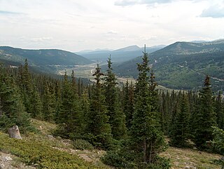
It rises near the continental divide near Webster Pass along the Summit-Park county line and descends through a steep canyon to the north past the former mining camp of Montezuma, then turns west to flow past Keystone, where it joins the Blue from the east as an arm of Dillon Reservoir.
A continental divide is a drainage divide on a continent such that the drainage basin on one side of the divide feeds into one ocean or sea, and the basin on the other side either feeds into a different ocean or sea, or else is endorheic, not connected to the open sea. Every continent on earth except Antarctica which has no free-flowing water has at least one continental drainage divide; islands, even small ones like Killiniq Island on the Labrador Sea in Canada, may also host part of a continental divide or have their own island-spanning divide.

Webster Pass, elevation 12,103 ft (3,689 m), is a mountain pass that crosses the Continental Divide in the Front Range of the Rocky Mountains of Colorado in the United States. Originally known as Handcart Pass, the name changed in the 1870s after the Webster brothers constructed a toll road.

Park County is one of the 64 counties in the U.S. state of Colorado. As of the 2010 census, the population was 16,206. The county seat is Fairplay. The county was named after the large geographic region known as South Park, which was named by early fur traders and trappers in the area.