
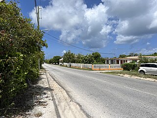
Anguilla is a British Overseas Territory in the Caribbean. It is one of the most northerly of the Leeward Islands in the Lesser Antilles, lying east of Puerto Rico and the Virgin Islands and directly north of Saint Martin. The territory consists of the main island of Anguilla, approximately 16 miles long by 3 miles (5 km) wide at its widest point, together with a number of much smaller islands and cays with no permanent population. The territory's capital is The Valley. The total land area of the territory is 35 square miles (91 km2), with a population of approximately 15,753 (2021).

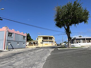
The Valley is the capital of Anguilla, one of its fourteen districts, and the main town on the island. As of 2011, it had a population of 3,269.

Stoney 142, 143, 144 is an Indian reserve of the Stoney Nakoda First Nation, comprising Bearspaw, Chiniki, and Wesley First Nations in Alberta, located between the Municipal District of Bighorn No. 8 and Rocky View County. The largest community of the Nakoda people, it is 56 kilometers west of Calgary.
Carmanville is a Canadian community in the province of Newfoundland and Labrador.

Sint Maarten is a constituent country of the Kingdom of the Netherlands located in the Caribbean region of North America. With a population of 58,477 as of June 2023 on an area of 34 km2 (13 sq mi), it encompasses the southern 44% of the divided island of Saint Martin, while the northern 56% of the island constitutes the French overseas collectivity of Saint Martin. Sint Maarten's capital is Philipsburg. Collectively, Sint Maarten and the other Dutch islands in the Caribbean are often called the Dutch Caribbean.
Education in Anguilla is compulsory between the ages of 5 and 17. In 1998, the gross primary enrollment rate was 100.7 percent, and the net primary enrollment rate was 98.9 percent. The government has collaborated with UNESCO to develop an Education for All plan that aims to raise educational achievement levels, improve access to quality special education services and provide human resource training for teachers and education managers.

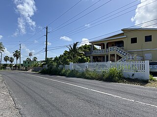
Blowing Point is a village and one of the fourteen Districts of Anguilla, located on the southern coast. It is home to Anguilla's ferry terminal.
East End is one of the fourteen Districts of Anguilla. Its population at the 2011 census was 671.
George Hill is one of the fourteen Districts of Anguilla. Its population at the 2011 census was 879.

Island Harbour is one of the fourteen Districts of Anguilla. Its population at the 2011 census was 988.
North Hill is one of the fourteen Districts of Anguilla. Its population at the 2011 census was 464.
North Side is one of the fourteen Districts of Anguilla. Its population at the 2011 census was 1,980.
Sandy Hill is one of the fourteen Districts of Anguilla. Its population at the 2011 census was 636.

South Hill is one of the fourteen Districts of Anguilla. Its population at the 2011 census was 1,722.
West End is one of the fourteen Districts of Anguilla. Its population at the 2011 census was 813.
The Quarter is one of the fourteen Districts of Anguilla. Its population at the 2011 census was 959.
The Farrington is one of the fourteen Districts of Anguilla. Its population at the 2011 census was 624.
The Republic of Anguilla was a short-lived, unrecognised independent state on the island of Anguilla. It lasted from 11 July 1967 until 19 March 1969, when British control was re-established.
Katwa I is a community development block that forms an administrative division in Katwa subdivision of Purba Bardhaman district in the Indian state of West Bengal.

Stoney 142B is an Indian reserve of the Stoney Nakoda First Nation, comprising Bearspaw, Chiniki, and Wesley First Nations in Alberta, located within the Municipal District of Bighorn No. 8. It is 48 kilometres northwest of Calgary, Alberta, Canada.

