Barbourville is a home rule-class city in Knox County, Kentucky, in the United States. The population was 3,165 at the 2010 census, down from 3,589 at the 2000 census. It is the county seat of Knox County. The city was formally established by the state assembly in 1812. It was incorporated in 1854 and then reincorporated in 1856.

Delaware is a town in Sullivan County, New York, United States. The population was 2,203 at the 2020 census.

Union College is a private college in Barbourville, Kentucky. The college was founded in 1879 and is affiliated with the United Methodist Church. Union's approximately 825 undergraduate students represent 27 states and 9 countries.
Deposit is a town in Delaware County, New York, United States. As of the 2010 census, the town's population was 1,712.
Barbourville is the name of several places in the United States of America:

William Abner Stanfill was briefly a member of the United States Senate from Kentucky.

John Marshall Robsion, a Republican, represented Kentucky in both the United States Senate and the United States House of Representatives.
Kenneth H. Tuggle, a Republican, served as the 39th Lieutenant Governor of Kentucky, 1943–1947. It was 53 years before another Republican was elected Lieutenant Governor of Kentucky.

Kentucky Route 11 (KY 11) is an American highway maintained by the Kentucky Transportation Cabinet that runs from Maysville to Barbourville. The route from Maysville to Mount Sterling is being upgraded on a new alignment as part of a "macro-corridor" within the state of Kentucky.
Flemon Davis "Flem" Sampson was the 42nd Governor of Kentucky, serving from 1927 to 1931. He graduated from Valparaiso University in 1894, and opened a law practice in Barbourville, Kentucky. He formed a political alliance with future Representatives Caleb Powers and John Robsion, both prominent Republicans in the eastern part of the state. By 1916, he was serving on the Kentucky Court of Appeals and had previously served as a county judge and circuit court judge. In 1923, he was elevated to chief justice of the Court of Appeals. He served until 1927, when he became the Republican gubernatorial nominee.

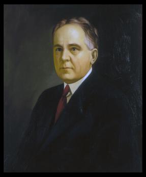
James Dixon Black was an American attorney who was the 39th Governor of Kentucky, serving for seven months in 1919. He ascended to the office when Governor Augustus O. Stanley was elected to the U.S. Senate.
Green Adams was a lawyer, slave owner, and member and functionary of the United States Congress. He was born in Barbourville, Kentucky in 1812.

Dr. Thomas Walker State Historic Site is a park located six miles southeast of Barbourville in Knox County in the U.S. state of Kentucky. The land was donated by the American Legion and the people of Barbourville, and marks the area where Kentucky pioneer Thomas Walker, a physician, built his cabin in 1750. A representative cabin marks the spot of "the first house in Kentucky". The site was dedicated in 1931. A replica of the cabin can be toured.

Caleb Powers was a United States representative from Kentucky and the first Secretary of State of Kentucky convicted as an accessory to murder.

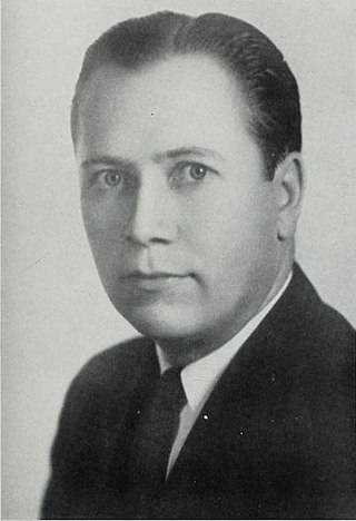
James Stephen Golden was a U.S. Representative from Kentucky.
John Henry Wilson was a U.S. Representative from Kentucky.
Knox County is a county located in Appalachia near the southeastern corner of the U.S. state of Kentucky. As of the 2020 census, the population was 30,193. Its county seat is Barbourville. The county is named for General Henry Knox. It is one of the few coal-producing counties in Kentucky that has not suffered massive population loss. Knox County is included in the London, KY Micropolitan Statistical Area.

Kentucky Route 225 (KY 225) is a 16.4-mile-long (26.4 km) state highway in the U.S. state of Kentucky. The highway connects mostly rural areas of Bell and Knox counties with Barbourville.
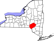
Barbourville is a hamlet in Delaware County, New York, United States. It is located northeast of Stilesville on NY Route 8. The East Branch Cold Spring Creek flows south through the hamlet.

The 1930 United States Senate election in Kentucky took place on November 4, 1930, alongside a special election to the same seat.