
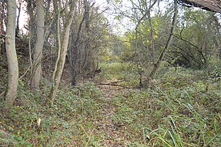
Smokejack Clay Pit is a 56-hectare (140-acre) geological Site of Special Scientific Interest east of Cranleigh in Surrey. It is a Geological Conservation Review site.

Brede Pit and Cutting is a 0.6-hectare (1.5-acre) geological Site of Special Scientific Interest in Brede in East Sussex. It is a Geological Conservation Review site.

Ketton Quarries is a 115.6-hectare (286-acre) biological and geological Site of Special Scientific Interest east of Ketton in Rutland. It is a Geological Conservation Review site, and an area of 27.5 hectares is managed by the Leicestershire and Rutland Wildlife Trust.

Bierton Clay Pit is a 0.07-hectare (0.17-acre) geological Site of Special Scientific Interest in Bierton in Buckinghamshire. It is listed by the Joint Nature Conservation Committee as a Geological Conservation Review site.

South Lodge Pit is a 0.5-hectare (1.2-acre) geological Site of Special Scientific Interest in Taplow in Buckinghamshire. It is a Geological Conservation Review site.

Barrington Chalk Pit is a 97.1-hectare (240-acre) geological Site of Special Scientific Interest near Barrington in Cambridgeshire. It is a Geological Conservation Review site.

Upware Bridge Pit North is a 2.5-hectare (6.2-acre) geological Site of Special Scientific Interest northwest of Wicken in Cambridgeshire. It is a Geological Conservation Review site.
Upware South Pit is a 1.1-hectare (2.7-acre) geological Site of Special Scientific Interest (SSSI) north of Upware in Cambridgeshire. It is a Geological Conservation Review site.
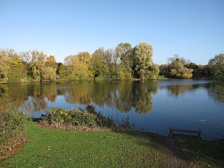
Ely Pits and Meadows is an 85.8-hectare (212-acre) Site of Special Scientific Interest (SSSI) on the eastern outskirts of Ely in Cambridgeshire. It is the only SSSI in the county which is designated both for its biological and geological interest. It is also a Geological Conservation Review site, and an area of 8 hectares is the Roswell Pits nature reserve, which is managed by the Wildlife Trust for Bedfordshire, Cambridgeshire and Northamptonshire.
Thrapston Station Quarry is a 4.5-hectare (11-acre) geological Site of Special Scientific Interest south of Thrapston in Northamptonshire. It is a Geological Conservation Review site. It was formerly called the Thrapston Midland Railway Station Quarry.

Irchester Old Lodge Pit is a 0.4-hectare (0.99-acre) geological Site of Special Scientific Interest south of Wellingborough in Northamptonshire. It is a Geological Conservation Review site.
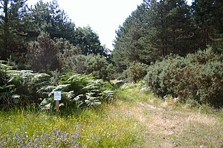
Breckland Forest is an 18,126 hectare biological and geological Site of Special Scientific Interest in many separate areas between Swaffham in Norfolk and Bury St Edmunds in Suffolk. It is part of the Breckland Special Protection Area under the European Union Directive on the Conservation of Wild Birds. It contains two Geological Conservation Review sites, Beeches Pit, Icklingham and High Lodge. Barton Mills Valley is a Local Nature Reserve in the south-west corner of the site.

Gipsy Lane Pit is a 0.5 hectares geological Site of Special Scientific Interest in Leicester. It is a Geological Conservation Review site.

Dry Sandford Pit is a 4.2-hectare (10-acre) biological and geological Site of Special Scientific Interest north-west of Abingdon-on-Thames in Oxfordshire. It is a Geological Conservation Review site and it is managed as a nature reserve by the Berkshire, Buckinghamshire and Oxfordshire Wildlife Trust.

Rock Edge is a 1.7-hectare (4.2-acre) geological Site of Special Scientific Interest in Oxford in Oxfordshire. It is a Geological Conservation Review site and a Local Nature Reserve

Littlemore Railway Cutting is a 0.5-hectare (1.2-acre) geological Site of Special Scientific Interest on the southern outskirts of Oxford in Oxfordshire. It is a Geological Conservation Review site.

Shellingford Crossroads Quarry is a 2.6-hectare (6.4-acre) geological Site of Special Scientific Interest west of Stanford in the Vale in Oxfordshire. It is a Geological Conservation Review site.
