
Swanscombe Skull Site or Swanscombe Heritage Park is a 3.9 hectares geological Site of Special Scientific Interest in Swanscombe in north-west Kent, England. It contains two Geological Conservation Review sites and a National Nature Reserve. The park lies in a former gravel quarry, Barnfield Pit.

Ketton Quarries is a 115.6-hectare (286-acre) biological and geological Site of Special Scientific Interest east of Ketton in Rutland. It is a Geological Conservation Review site, and an area of 27.5 hectares is managed by the Leicestershire and Rutland Wildlife Trust.

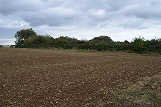
Barrington Chalk Pit is a 97.1-hectare (240-acre) geological Site of Special Scientific Interest near Barrington in Cambridgeshire. It is a Geological Conservation Review site.
Eye Gravel Pit is a 0.4-hectare (0.99-acre) geological Site of Special Scientific Interest in Eye Green in Cambridgeshire. It is a Geological Conservation Review site, and part of it overlaps Eye Green Local Nature Reserve.
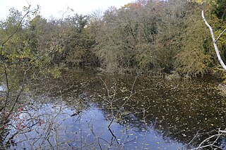
Upware North Pit is a 1.1-hectare (2.7-acre) biological Site of Special Scientific Interest north-west of Wicken in Cambridgeshire.
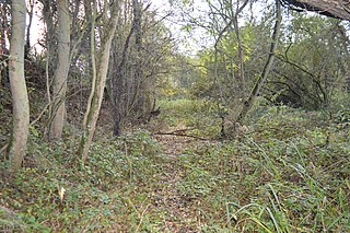
Upware South Pit is a 1.1-hectare (2.7-acre) geological Site of Special Scientific Interest (SSSI) north of Upware in Cambridgeshire. It is a Geological Conservation Review site.
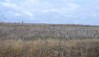
Warboys Clay Pit is a 12.6-hectare (31-acre) geological Site of Special Scientific Interest west of Warboys in Cambridgeshire. It is a Geological Conservation Review site.

Holton Pit is a 1.6-hectare (4.0-acre) geological Site of Special Scientific Interest east of Halesworth in Suffolk. It is a Geological Conservation Review site.

Valley Farm Pit, Sudbourne is a 0.5-hectare (1.2-acre) geological Site of Special Scientific Interest north of Orford in Suffolk. It is a Geological Conservation Review site, and in the Suffolk Coast and Heaths Area of Outstanding Natural Beauty.

Grimston Warren Pit is a 6.6-hectare (16-acre) geological Site of Special Scientific Interest east of King's Lynn in Norfolk. It is a Geological Conservation Review site.

Wells Chalk Pit is a 4-hectare (9.9-acre) biological and geological Site of Special Scientific Interest on the eastern outskirts of Wells-next-the-Sea in Norfolk. It is a Geological Conservation Review site, and it is in the Norfolk Coast Area of Outstanding Natural Beauty.

Briton's Lane Gravel Pit is a 21.5-hectare (53-acre) geological Site of Special Scientific Interest east of Sheringham in Norfolk. It is a Geological Conservation Review site and it is in the Norfolk Coast Area of Outstanding Natural Beauty.

Dry Sandford Pit is a 4.2-hectare (10-acre) biological and geological Site of Special Scientific Interest north-west of Abingdon-on-Thames in Oxfordshire. It is a Geological Conservation Review site and it is managed as a nature reserve by the Berkshire, Buckinghamshire and Oxfordshire Wildlife Trust.

Lyehill Quarry is a 2.8-hectare (6.9-acre) geological Site of Special Scientific Interest east of Oxford in Oxfordshire. It is a Geological Conservation Review site.

Shellingford Crossroads Quarry is a 2.6-hectare (6.4-acre) geological Site of Special Scientific Interest west of Stanford in the Vale in Oxfordshire. It is a Geological Conservation Review site.
