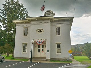
Allegany County is a county in the Southern Tier of the U.S. state of New York. As of the 2020 census, the population was 46,456. Its county seat is Belmont. Its name derives from a Lenape word, applied by European-American settlers of Western New York State to a trail that followed the Allegheny River; they also named the county after this.
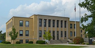
Montgomery County is a county in the east central part of the U.S. state of Missouri. As of the 2020 census, the population was 11,322. Its county seat is Montgomery City. The county was named in honor of Richard Montgomery, an American Revolutionary War general killed in 1775 while attempting to capture Quebec City, Canada.
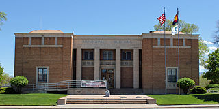
Fremont County is a county located in the U.S. state of Colorado. As of the 2020 census, the population was 48,939. The county seat is Cañon City. The county is named for 19th-century explorer and presidential candidate John C. Frémont.
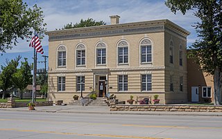
Baca County is a county located in the U.S. state of Colorado. As of the 2020 census, the population was 3,506. The county seat is Springfield. Located at the southeast corner of Colorado, the county shares state borders with Kansas, New Mexico, and Oklahoma.

Cañon City is a home rule municipality that is the county seat and the most populous municipality of Fremont County, Colorado, United States. The city population was 17,141 at the 2020 United States Census. Cañon City is the principal city of the Cañon City, CO Micropolitan Statistical Area and is a part of the Front Range Urban Corridor. Cañon City straddles the easterly flowing Arkansas River and is a popular tourist destination for sightseeing, whitewater rafting, and rock climbing. The city is known for its many public parks, fossil discoveries, Skyline Drive, The Royal Gorge railroad, the Royal Gorge, and extensive natural hiking paths. In 1994, the United States Board on Geographic Names approved adding the tilde to the official name of Cañon City, a change from Canon City as the official name in its decisions of 1906 and 1975. It is one of the few U.S. cities to have the Spanish Ñ in its name, others being La Cañada Flintridge, California; Española, New Mexico; Peñasco, New Mexico; and Peñitas, Texas.
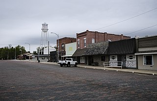
Wellsville is a city in Franklin County, Kansas, United States. As of the 2020 census, the population of the city was 1,953.

Wellsville is a city in Montgomery County, Missouri, United States. The population was 998 at the 2020 census.

Wellsville is a village in southern Columbiana County, Ohio, United States, along the Ohio River. Its population was 3,113 at the 2020 census. Wellsville is the southernmost point of the Salem micropolitan area. In its heyday, Wellsville was home to industries in transportation, both through rail terminals on the Pennsylvania Railroad and docks on the Ohio River, as well as pottery and ceramics manufacturing.

Wellsville is a borough in York County, Pennsylvania, United States. The population was 299 at the 2020 census.

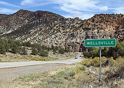
Wellsville is a city in Cache County, Utah, United States. The population was 3,432 at the 2010 census, with an estimated population of 3,849 in 2018. It is included in the Logan, Utah-Idaho Metropolitan Statistical Area.
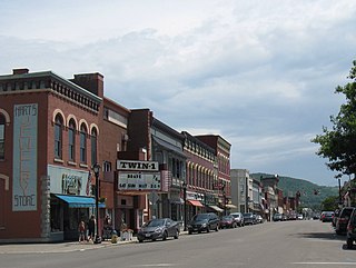
Wellsville is a village in Allegany County, New York, United States. Located in south-central wooded and rural Allegany County, it is the largest population and business center in a 30-mile (48 km) radius. The population was 4,679 at the 2010 census. The village's name is not, as some suppose, derived from the oil wells that became an important economic part of the area, but rather for Gardiner Wells, a local businessman.

Wellsville is a Town and largest community in Allegany County, New York, United States. As of the 2010 census, the town had a population of 7,397.

The Wasatch Range or Wasatch Mountains is a mountain range in the western United States that runs about 160 miles (260 km) from the Utah-Idaho border south to central Utah. It is the western edge of the greater Rocky Mountains, and the eastern edge of the Great Basin region. The northern extension of the Wasatch Range, the Bear River Mountains, extends just into Idaho, constituting all of the Wasatch Range in that state.

Pawnee National Grassland is a United States National Grassland located in northeastern Colorado on the Colorado Eastern Plains. The grassland is located in the South Platte River basin in remote northern and extreme northeastern Weld County between Greeley and Sterling. It comprises two parcels totaling 193,060 acres (78,130 ha) largely between State Highway 14 and the Wyoming border. The larger eastern parcel lies adjacent to the borders of both Nebraska and Wyoming. It is administered in conjunction with the Arapaho-Roosevelt National Forest from the U.S. Forest Service office in Fort Collins, with a local ranger district office in Greeley.

The Wellsville Mountains are located in northern Utah, United States and are often considered part of the Wasatch Mountains.

New York State Route 19 (NY 19) is a north–south state highway in Western New York in the United States. It is the longest state highway in that region, and the only other one besides NY 14 to completely transect the state from the Pennsylvania state line to the shore of Lake Ontario. It continues south into Pennsylvania as Pennsylvania Route 449 (PA 449) and ends at an intersection with the Lake Ontario State Parkway just south of the lakeshore in Hamlin. NY 19 does not serve any major cities or metropolitan areas and remains a two-lane rural road for almost its entire length. However, it follows the Genesee River for much of its lower length, and offers easy access to the gorges of Letchworth State Park midway along its route.

The Lower Colorado River Valley (LCRV) is the river region of the lower Colorado River of the southwestern United States in North America that rises in the Rocky Mountains and has its outlet at the Colorado River Delta in the northern Gulf of California in northwestern Mexico, between the states of Baja California and Sonora. This north–south stretch of the Colorado River forms the border between the U.S. states of California/Arizona and Nevada/Arizona, and between the Mexican states of Baja California/Sonora.

K-33 is an approximately 10.4-mile-long (16.7 km) north–south state highway in the U.S. state of Kansas. K-33's southern terminus is at K-68 in rural Franklin County east of Ottawa and the northern terminus is at U.S. Route 56 (US-56) in Douglas County, east of Baldwin City and southwest of Kansas City. K-33 provides an important link between US-56 and K-68 to Interstate 35 (I-35) and US-50 in Wellsville. K-33 is a two-lane rural highway for most of its length, except for the section within Wellsville.

Pikes Peak is the highest summit of the southern Front Range of the Rocky Mountains, in North America. The ultra-prominent 14,115-foot (4,302.31 m) fourteener is located in Pike National Forest, 12 miles (19 km) west of downtown Colorado Springs, Colorado. The town of Manitou Springs lies at its base.
The Wellsville Daily Reporter is an American daily newspaper published Sundays and weekdays in Wellsville, New York
