White Cloud Township, Mills County, Iowa

Last updated

White Cloud Township is a township in Mills County, Iowa, USA. [1]

A township in the United States is a small geographic area.

Mills County, Iowa County in the United States

Mills County is a county located in the U.S. state of Iowa. As of the 2010 census, the population was 15,059. The county seat is Glenwood. The county was formed in 1851 and named for Major Frederick Mills of Burlington, Iowa who was killed at the Battle of Churubusco during the Mexican–American War.

Iowa State of the United States of America

Iowa is a state in the Midwestern United States, bordered by the Mississippi River to the east and the Missouri River and Big Sioux River to the west. It is bordered by six states; Wisconsin to the northeast, Illinois to the east, Missouri to the south, Nebraska to the west, South Dakota to the northwest and Minnesota to the north.

History

White Cloud Township was organized in 1856. [2]

Related Research Articles

Malvern, Iowa City in Iowa, United States

Malvern is a city in Mills County, Iowa, United States. The population was 1,142 at the 2010 census. The Wabash Trace—a railroad converted to a bicycle trail—passes through Malvern. The Mills County Fair is held here, although Glenwood is the county seat. Malvern is the largest town in the eastern half of the county.

Benton Township, Fremont County, Iowa Township in Iowa, United States

Benton Township is one of thirteen townships in Fremont County, Iowa, United States. As of the 2010 census, its population was 254 and it contained 122 housing units.

Plattville Township is a township in Mills County, Iowa, USA.

Rawles Township is a township in Mills County, Iowa, USA.

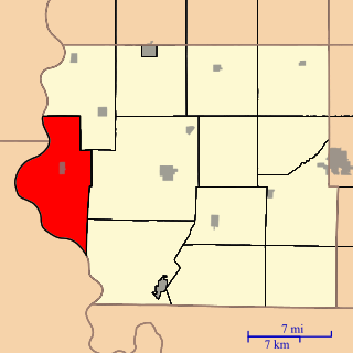
Silver Creek Township is a township in Mills County, Iowa, USA.

Ingraham Township is a township in Mills County, Iowa, USA.

Indian Creek Township is a township in Mills County, Iowa, USA.

Lyons Township is a township in Mills County, Iowa, USA.

Center Township is a township in Mills County, Iowa, USA.

Grant Township is a township in Montgomery County, Iowa, USA.

West Township is a township in Montgomery County, Iowa, USA.

Neola Township is a township in Pottawattamie County, Iowa, USA.

Pierce Township is a township in Page County, Iowa, USA.

Washington Township is a township in Page County, Iowa, USA and has a population of 195.

Douglas Township is a township in Page County, Iowa, USA.

Tarkio Township is a township in Page County, Iowa, USA.

Nodaway Township is a township in Page County, Iowa, USA. Clarinda, the seat of Page County, is located in Nodaway Township.

Amity Township is a township in Page County, Iowa, USA.

Lincoln Township is a township in Page County, Iowa, USA.

Morton Township is a township in Page County, Iowa, USA.

References

Coordinates: 40°56′59″N95°32′51″W / 40.9497°N 95.5475°W / 40.9497; -95.5475

Geographic coordinate system Coordinate system

A geographic coordinate system is a coordinate system that enables every location on Earth to be specified by a set of numbers, letters or symbols. The coordinates are often chosen such that one of the numbers represents a vertical position and two or three of the numbers represent a horizontal position; alternatively, a geographic position may be expressed in a combined three-dimensional Cartesian vector. A common choice of coordinates is latitude, longitude and elevation. To specify a location on a plane requires a map projection.