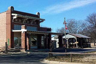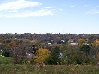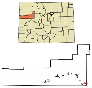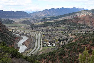
Winneshiek County is a county located in the U.S. state of Iowa. As of the 2020 census, the population was 20,070. The county seat is Decorah.

Pottawattamie County is a county located in the U.S. state of Iowa. At the 2020 census, the population was 93,667, making it the tenth-most populous county in Iowa. The county takes its name from the Potawatomi Native American tribe. The county seat is Council Bluffs.

Mills County is a county located in the U.S. state of Iowa. As of the 2020 census, the population was 14,484. The county seat is Glenwood. The county was formed in 1851 and named for Major Frederick Mills of Burlington, Iowa who was killed at the Battle of Churubusco during the Mexican–American War.

Henry County is a county located in the U.S. state of Iowa. As of the 2020 census, the population was 20,482. The county seat is Mount Pleasant. The county was named for General Henry Dodge, governor of Wisconsin Territory.

Scott is an unincorporated community and census-designated place (CDP) in Lonoke and Pulaski counties in the central part of the U.S. state of Arkansas. Per the 2020 census, the population was 97. It is part of the Little Rock–North Little Rock–Conway Metropolitan Statistical Area.

Glenwood is a city in Pike and Montgomery counties in Arkansas, United States. As of the 2020 census, its population was 2,068. The community is located along the Caddo River in the Ouachita Mountains.

Candler-McAfee is a census-designated place in unincorporated DeKalb County, Georgia, United States. It is located east of Atlanta approximately 10 miles (16 km) east of Downtown Atlanta and to the south of Decatur, Georgia The population was 23,025 at the 2010 census.

Glenwood is a city in, and the county seat of, Mills County, Iowa, United States. The population was 5,073 in the 2020 census, a decline from 5,358 in 2000.

Malvern is a city in Mills County, Iowa, United States. The population was 1,046 at the time of the 2020 census. The Wabash Trace—a railroad converted to a bicycle trail—passes through Malvern. The Mills County Fair is held here, although Glenwood is the county seat. Malvern is the largest town in the eastern half of the county.

Saylorville is a census-designated place (CDP) in Polk County, Iowa, United States. The population was 3,301 at the 2010 census. It is part of the Des Moines–West Des Moines Metropolitan Statistical Area. The Saydel Community School District is located in this area, as is the unincorporated community of Marquisville.

Leando is a census-designated place (CDP) in Van Buren County, Iowa, United States. The population was 135 at the 2000 census.

Greilickville is an unincorporated community and census-designated place (CDP) in Leelanau County in the U.S. state of Michigan. At the 2020 census, the population was 1,634, up from 1,530 at the 2010 census. The community is located within Elmwood Charter Township, and is located in the extreme southeast of the Leelanau Peninsula.

Glenwood is a census-designated place in Catron County, New Mexico, United States. As of the 2010 census it had a population of 143. The area was founded in 1878 as Bush Ranch. Located near the San Francisco River, Glenwood is 61 miles (98 km) northwest of Silver City on U.S. Route 180, and is 38 miles (61 km) south of Reserve.
Middle Amana is an unincorporated community and census-designated place (CDP) in Iowa County, Iowa, United States. It is the largest of the seven villages of the Amana Colonies, all designated as a National Historic Landmark. As of the 2010 Census, the population of Middle Amana was 581.
Little Cedar is an unincorporated community and census-designated place in central Mitchell County, Iowa, United States. As of the 2020 census it had a population of 64. Little Cedar has a post office with the ZIP code of 50454.
Green Mountain is a rural unincorporated community and census-designated place (CDP) in Marshall County, Iowa, United States. It is located in Marion Township. As of the 2020 census the population of Green Mountain was 113.

Catherine is a census-designated place (CDP) in and governed by Garfield County, Colorado, United States. The CDP is a part of the Glenwood Springs, CO Micropolitan Statistical Area. The population of the Catherine CDP was 235 at the United States Census 2020. The Glenwood Springs post office serves the area.

Chacra is a census-designated place (CDP) in and governed by Garfield County, Colorado, United States. The CDP is a part of the Glenwood Springs, CO Micropolitan Statistical Area. The population of the Chacra CDP was 331 at the United States Census 2020. The Glenwood Springs post office serves the area.

Mulford is a Census-designated place (CDP) in and governed by Garfield County, Colorado, United States. The CDP is a part of the Glenwood Springs, CO Micropolitan Statistical Area. The population of the Mulford CDP was 259 at the United States Census 2020. The Carbondale post office serves the area.
Ojo Encino is an unincorporated community and census-designated place (CDP) in McKinley County, New Mexico, United States, on the Navajo Nation. It was first listed as a CDP prior to the 2020 census.


