
Enterprise Municipal Airport is a city-owned, public-use airport located three nautical miles (6 km) west of the central business district of Enterprise, a city in Coffee County, Alabama, United States. It is included in the National Plan of Integrated Airport Systems for 2011–2015, which categorized it as a general aviation facility.
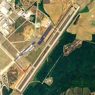
Talladega Municipal Airport is a city-owned public-use airport located eight nautical miles northeast of the central business district of Talladega, a city in Talladega County, Alabama, adjacent to Talladega Superspeedway in the city of Lincoln. It is included in the FAA's National Plan of Integrated Airport Systems for 2011–2015, which categorized it as a general aviation facility.

Moton Field Municipal Airport is a public-use airport located three nautical miles north of the central business district of Tuskegee, a city in Macon County, Alabama, United States. The airport is owned by the City of Tuskegee. It is included in the FAA's National Plan of Integrated Airport Systems for 2011–2015, which categorized it as a general aviation facility.

Abbeville Municipal Airport is a city-owned, public-use airport located three nautical miles north of the central business district of Abbeville, a city in Henry County, Alabama, United States. It is the only airport that serves the city of Abbeville.
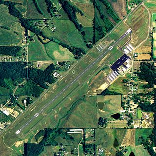
Albertville Regional Airport, also known as Thomas J. Brumlik Field, is a city-owned, public-use airport located three nautical miles southwest of the central business district of Albertville, in Marshall County, Alabama, United States. It was formerly known as Albertville Municipal Airport.

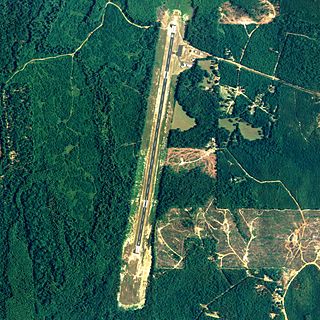
Wetumpka Municipal Airport is a city-owned, public-use airport located six nautical miles west of the central business district of Wetumpka, a city in Elmore County, Alabama, United States. It is included in the FAA's National Plan of Integrated Airport Systems for 2011–2015, which categorized it as a general aviation facility. During World War II the airport, known then as Elmore Auxiliary Field, served as an auxiliary field for Gunter Army Airfield training operations. In 2013 the airport was listed in the Alabama Register of Landmarks and Heritage.

Sylacauga Municipal Airport, also known as Merkel Field, is a city-owned public-use airport located three nautical miles west of the central business district of Sylacauga, a city in Talladega County, Alabama, United States. It is included in the FAA's National Plan of Integrated Airport Systems for 2011–2015, which categorized it as a general aviation facility.

Camden Municipal Airport is a city-owned, public-use airport located three nautical miles (6 km) southwest of the central business district of Camden, a city in Wilcox County, Alabama, United States.

Centre Municipal Airport is a city-owned, public-use airport located three nautical miles east of the central business district of Centre, a city in Cherokee County, Alabama, United States. It is owned by the City of Centre.

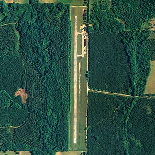
Clayton Municipal Airport is a city-owned, public-use airport located two nautical miles west of the central business district of Clayton, a city in Barbour County, Alabama, United States.

Demopolis Regional Airport is a city-owned, public-use airport located six nautical miles southwest of the central business district of Demopolis, a city in Marengo County, Alabama, United States. It is also known as Demopolis Municipal Airport and Julian D. "Buzz" Sawyer Airport.
Richard Arthur Field is a city-owned public-use airport located three nautical miles northeast of the central business district of Fayette, a city in Fayette County, Alabama, United States.

Florala Municipal Airport is a city-owned public-use airport located three nautical miles northeast of the central business district of Florala, a city in Covington County, Alabama, United States.

Foley Municipal Airport is a city-owned public-use airport located three nautical miles northwest of the central business district of Foley, a city in Baldwin County, Alabama, United States.
Greensboro Municipal Airport is a city-owned public-use airport located three nautical miles southwest of the central business district of Greensboro, a city in Hale County, Alabama, United States.

Headland Municipal Airport is a city-owned, public-use airport located two nautical miles northeast of the central business district of Headland, a city in Henry County, Alabama, United States.
Jackson Municipal Airport is a city-owned public airport two miles south of Jackson, in Clarke County, Alabama.

Lanett Municipal Airport is a city-owned public-use airport located three nautical miles southwest of the central business district of Lanett, a city in Chambers County, Alabama, United States. According to the FAA's National Plan of Integrated Airport Systems for 2009–2013, it is categorized as a general aviation facility.
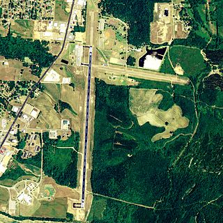
Russellville Regional Airport is a city-owned public-use airport located two nautical miles (3.7 km) southeast of the central business district of Russellville, a city in Pope County, Arkansas, United States. According to the FAA's National Plan of Integrated Airport Systems for 2009–2013, it is categorized as a general aviation facility. It was formerly known as Russellville Municipal Airport.
Russellville-Logan County Airport is a public use airport located four nautical miles southeast of the central business district of Russellville, a city in Logan County, Kentucky, United States. Owned by the City County Airport Board, it is included in the National Plan of Integrated Airport Systems for 2011–2015, which categorized it as a general aviation facility.
