Vinton County is a county located in the U.S. state of Ohio. As of the 2020 census, the population was 12,800, making it the least populous county in the state. Its county seat is McArthur. The county is named for Samuel Finley Vinton, US Representative from Ohio.

Creola is a city in Mobile County, Alabama, United States. Incorporated in 1978, the city had a population of 1,936 at the 2020 census. It is part of the Mobile metropolitan area.
Milligan is a small unincorporated community in southern Harrison Township, Perry County, Ohio, United States. It is located on State Route 93 between Crooksville and New Lexington.

Millfield is a census-designated place in northern Dover Township, Athens County, Ohio, United States. It had a population of 311 at the 2020 census. It has a post office with the ZIP code 45761. It is located near State Route 13 midway between Chauncey and Jacksonville. Route 13 formerly ran through the community, but a bypass relocated it close by.

New Plymouth is an unincorporated community in northwestern Brown Township, Vinton County, Ohio, United States. It has a post office with the ZIP code 45654. It is located at the intersection of State Routes 56 and 328 in the county's far northeast.

Londonderry is an unincorporated community in eastern Liberty Township, Ross County, Ohio, United States. It has a post office with the ZIP code 45647. It lies along U.S. Route 50 at its intersection with State Route 327.

Hallsville is an unincorporated community in northeastern Colerain Township, Ross County, Ohio, United States. It has a post office with the ZIP code 45633. It is located along State Route 180.

Byer is an unincorporated community in northwestern Washington Township, Jackson County, Ohio, United States. It lies along State Route 327 between Wellston and Londonderry, at 39°10′53″N82°37′53″W.
Rose Farm is an unincorporated community and census-designated place (CDP) in southwestern York Township, Morgan County, and southeastern Harrison Township, Perry County, Ohio, United States. The population of the CPD was 111 at the 2020 census.

The Mauna Kea Ice Age Natural Area Reserve is a Hawaii state natural reserve that includes the Mauna Kea Adz Quarry, on the southern slope of Mauna Kea on the island of the Hawaiʻi.
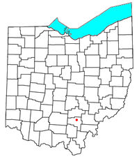
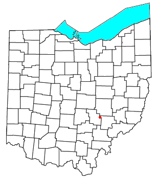
Meade or Mutton Jerk or Salem is an unincorporated community in Pickaway Township, Pickaway County, Ohio, United States. Meade is located at the intersection of State Route 159 and Hayesville Rd.. Its population is 79. Its children attend school in the Logan Elm Local School District. The nearest towns are Kingston and Circleville. Meade has only one commercial building, which is the Salem United Methodist Church. Its central thoroughfare is Hayesville Road.
Dundas is an unincorporated community in Vinton County, in the U.S. state of Ohio. It is located near the junction of State Route 324 and State Route 93.
Millport is an unincorporated community in Pickaway County, in the U.S. state of Ohio. The community is located between Ashville, Ohio, and South Bloomfield, Ohio, on Ohio State Route 316. As of 2019, the Millport has approximately 50 homes and has been incorporated into the Village of South Bloomfield.
Westfall is an unincorporated community in Pickaway County, in the U.S. state of Ohio. There is no relationship between the community and with Westfall High School, despite it having the same name. Some nearby rivers and creeks/ponds are the Scioto River and Hitler Pond. It is off of Ohio State Route 104.
Deucher is an extinct town in Washington County, in the U.S. state of Ohio. The GNIS classifies it as a populated place.
Oak Grove is an unincorporated community in Washington County, in the U.S. state of Ohio.
Woodside is an unincorporated community in Wood County, in the U.S. state of Ohio.
Otter Creek is a stream in Macon, Monroe and Shelby counties in the U.S. state of Missouri. It is a tributary of the North Fork of the Salt River.
Mulga is an unincorporated community in Milton Township, Jackson County, Ohio, United States. It is located east of Wellston at the intersection of Hollingshead Road and Mulga Road, just off Ohio State Route 32, at 39°07′02″N82°28′07″W.
Roads is an unincorporated community in Milton Township, Jackson County, Ohio, United States. It is located south of Wellston at the intersection of Ohio State Route 327 and Ohio State Route 124, at 39°04′52″N82°32′17″W.