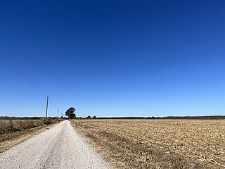
The Little Arkansas River is a river in the central Great Plains of North America. A tributary of the Arkansas River, its entire 123-mile (198 km) length lies within the American state of Kansas.

The Ninnescah River is a river in the central Great Plains of North America. Its entire 56.4-mile (90.8 km) length lies within the U.S. state of Kansas. It is a tributary of the Arkansas River.
Douglas is an unincorporated community in Olmsted County, Minnesota, United States. The community is located along 75th Street NW near its junction with County Road 3. Douglas is located within Kalmar Township and New Haven Township. Nearby places include Oronoco, Rochester, and the Douglas State Trail. The community is about two miles from the city of Rochester.

Big Springs is an unincorporated community in northwest Douglas County, Kansas, United States.

Lecompton Township is a township in Douglas County, Kansas, USA. As of the 2000 census, its population was 1,761.

Globe is an unincorporated community in Douglas County, Kansas, United States. It is located along U.S. Highway 56 in Marion Township. To the west of Globe is the Simmons Point Station.

Pleasant Grove is an unincorporated community in Douglas County, Kansas, United States. It is located four miles south of Lawrence.
Padonia is an unincorporated community in Padonia Township, Brown County, Kansas, United States.
Aubry is an unincorporated community in Johnson County, Kansas, United States, and part of the Kansas City metropolitan area.
Black Jack is an unincorporated community in Douglas County, Kansas, United States.
Media is a ghost town in Douglas County, Kansas, United States.
Belvoir is a ghost town in Douglas County, Kansas, United States.
Albion is a ghost town in Harper County, Kansas, United States.
Pardee is a ghost town in Atchison County, Kansas, United States.
Delaware City is a ghost town in Leavenworth County, Kansas, United States.
Springdale is an unincorporated community in Leavenworth County, Kansas, United States.
Geary is a ghost town in Wayne Township, Doniphan County, Kansas, United States.
Louisiana is a ghost town in Douglas County, Kansas, United States.

Weaver is a ghost town in Douglas County, Kansas, United States. It is located one mile northeast of Eudora.


