
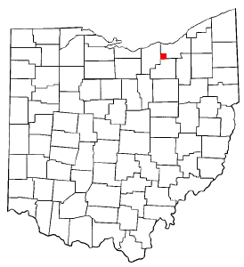
Union County is a county located in the U.S. state of Ohio. As of the 2020 census, the population was 62,784. Its county seat is Marysville. Its name is reflective of its origins, it being the union of portions of Franklin, Delaware, Madison, and Logan counties.

Pennville is a town in Penn Township, Jay County, Indiana, United States. The population was 701 at the 2010 census.

Marysville is a city in Marion County, Iowa, United States. The population was 44 at the time of the 2020 census.

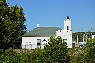
Marysville is a city in and the county seat of Union County, Ohio, United States, approximately 27 miles (43 km) northwest of Columbus. The population was 25,571 at the 2020 census. It is part of the Columbus metropolitan area.
Morrow is a village in Salem Township, Warren County, Ohio, United States. The population was 2,049 at the 2020 census.

Enola is a census-designated place (CDP) located along the Susquehanna River in East Pennsboro Township, Cumberland County, Pennsylvania, United States. The population was 6,111 at the 2010 census. Norfolk Southern operates Enola Yard, a large rail yard and locomotive shop in Enola. It is situated in Cumberland County, directly across the Susquehanna River from Harrisburg and is part of the Harrisburg–Carlisle metropolitan statistical area.

Plain City is a village in Madison and Union counties in the U.S. state of Ohio, along Big Darby Creek. The population was 4,065 at the 2020 census.

Wayne is an unincorporated community centered in Delaware County, Pennsylvania, United States, on the Main Line, a series of highly affluent Philadelphia suburbs located along the railroad tracks of the Pennsylvania Railroad and one of the wealthiest areas in the nation. While the center of Wayne is in Radnor Township, Wayne extends into both Tredyffrin Township in Chester County and Upper Merion Township in Montgomery County. The center of Wayne was designated the Downtown Wayne Historic District in 2012. Considering the large area served by the Wayne post office, the community may extend slightly into Easttown Township, Chester County, as well.

Freedom Township is one of the eighteen townships of Portage County, Ohio, United States. The 2020 census found 2,649 people in the township.
Columbia Township, also known as Columbia Station or just Columbia, is the easternmost of the eighteen townships of Lorain County, Ohio, United States. Columbia Township is the official government name, while Columbia Station is the post office name, and tends to be the town name used by residents. The post office name was chosen to differentiate the township from other Columbia Townships statewide, located in Hamilton and Meigs counties.
Union Township is one of the fourteen townships of Clermont County, Ohio, United States. The population was 49,639 at the 2020 census.

Paris Township is one of the fourteen townships of Union County, Ohio, United States. The 2020 census found 27,167 people in the township.
Darby Township is one of the fourteen townships of Union County, Ohio, United States. The 2020 census found 2,397 people in the township.
Millcreek Township is one of the fourteen townships of Union County, Ohio, United States. The 2020 census found 1,332 people in the township.

New Marshfield is a census-designated place in central Waterloo Township, Athens County, Ohio, United States. The population was 316 at the 2020 census. It has a post office with the ZIP code 45766. It is located along State Route 56 west of the county seat of Athens.

Richmond Dale is a census-designated place in central Jefferson Township, Ross County, Ohio, United States. It has a post office with the ZIP code 45673. It is located along U.S. Route 35 southeast of the county seat of Chillicothe. The population of the CPD was 386 at the 2020 census.

Ida is an unincorporated community and census-designated place (CDP) in Monroe County in the U.S. state of Michigan. The CDP had a population of 790 at the 2020 census. The community is mostly within Ida Township with a smaller portion extending north into Raisinville Township.
Tracy is an unincorporated community in Union Township, LaPorte County, Indiana.

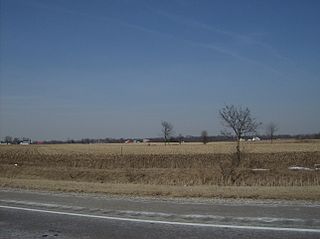
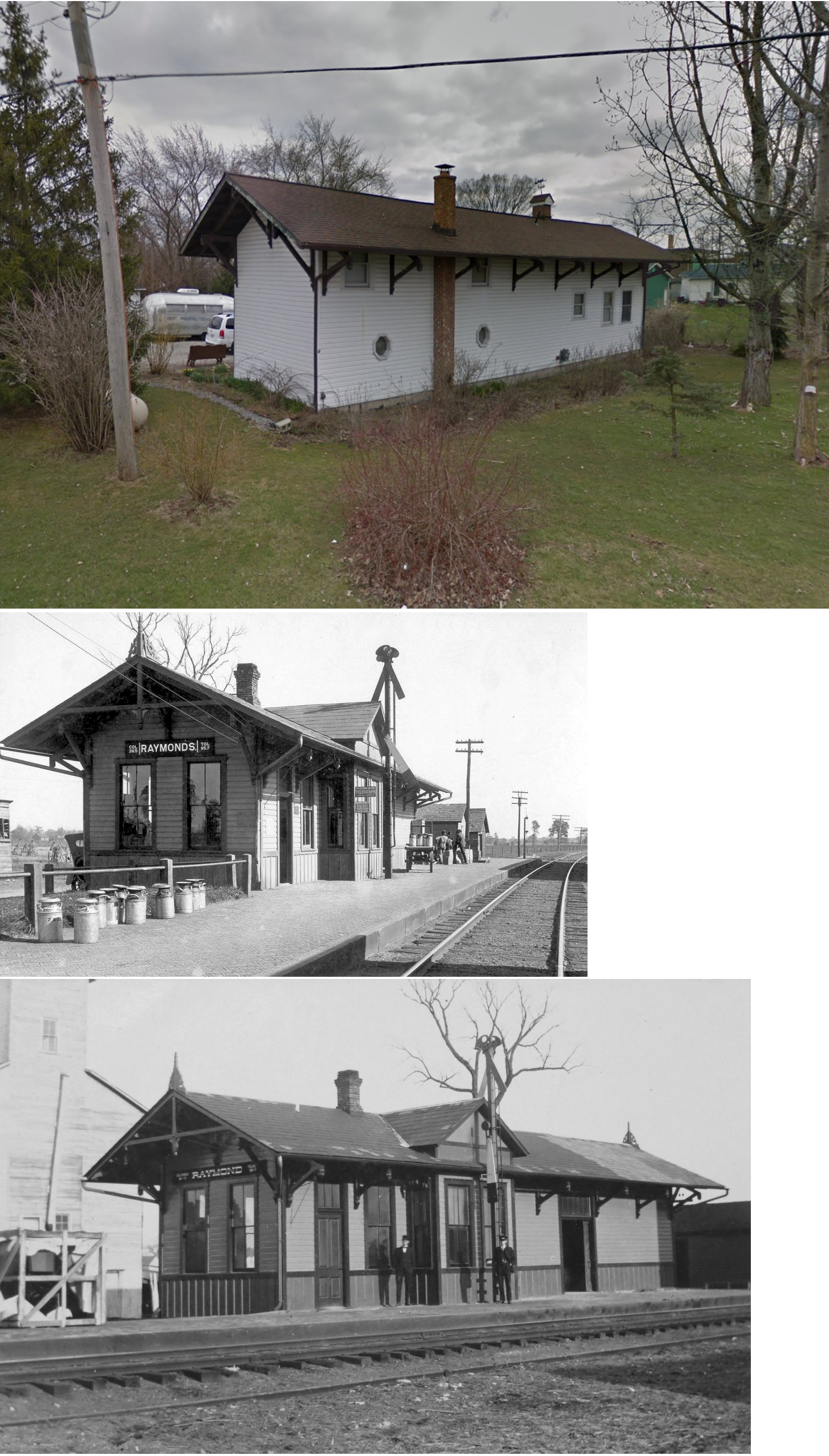
Peoria is an unincorporated community in Liberty Township, Union County, Ohio, United States. It is located at 40°18′50″N83°26′45″W, along Raymond Road, about 1.75 miles south of Raymond and 6.5 miles northwest of Marysville.
Otter is an unincorporated community in Paris Township, Union County, Ohio, United States. It is located at 40°16′33″N83°25′09″W, just northwest of Marysville, on the banks of Otter Run, at the intersection of Dog Leg Road and Westlake-Lee Road.


