Marathon County is a county located in the U.S. state of Wisconsin. As of the 2020 census, the population was 138,013. Marathon County's seat is Wausau. It was founded in 1850, created from a portion of Portage County. At that time the county stretched to the northern border with the upper Michigan peninsula. It is named after the battlefield at Marathon, Greece.

Jo Daviess County is the northwesternmost county in the U.S. state of Illinois. According to the 2020 census, it had a population of 22,035. Its county seat is Galena.

Wilton is a town in Saratoga County, New York, United States. The population was 17,361 at the 2020 census.
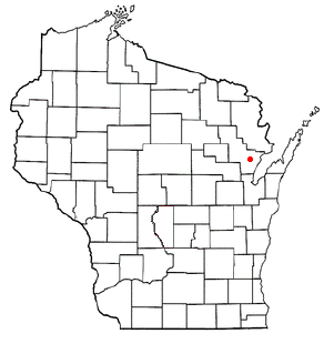
Stiles is a town in Oconto County, Wisconsin, United States. The population was 1,465 at the 2000 census. Situated within ancestral Menominee territory that was ceded to the United States in the 1836 Treaty of the Cedars, its Menominee name is Pæhkuahkiw which means "pointed hillock".
The Town of Superior is a town in Douglas County, Wisconsin, United States. The population was 2,264 at the 2020 US census, up from 2,058 at the 2000 census. The Village of Superior is located within the town. The City of Superior is located immediately north and adjacent to both the Town of Superior and the Village of Superior.
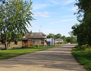
Sobieski, Wisconsin is an unincorporated census-designated place in Oconto County in northeastern Wisconsin, United States. It is located within the Town of Little Suamico. As of the 2010 census, its population was 259. It is part of the Green Bay Metropolitan Statistical Area. The Little Suamico Town Hall is located in Sobieski, just east of the Escanaba and Lake Superior Railroad.
Stone Bank is an unincorporated community located in the towns of Merton and Oconomowoc, in Waukesha County, Wisconsin, United States.
South Range is an unincorporated community, located in the town of Parkland, Douglas County, Wisconsin, United States.
Garfield is an unincorporated community in Portage County, Wisconsin, United States.

Garnet, Wisconsin is an unincorporated community in Fond du Lac County, in the U.S. state of Wisconsin. The community is on the north boundary of the county, just south of Calumet County. It is located at the intersection of County Highway HHH and Town Hall Road just east of Calumet County C, in the town of Calumet. Garnet is located 1.95 miles (3.14 km) east of Calumetville.

Jericho is an unincorporated community in the town of Brothertown in Calumet County, Wisconsin, United States. Jericho is located at the intersection of County highways C & H. Jericho is part of the Holyland region in Wisconsin.

Minnesota Junction is an unincorporated community located, in the town of Oak Grove, in Dodge County, Wisconsin, United States. Minnesota Junction is located on Wisconsin Highway 26. It is located at latitude 43.452 and longitude -88.697 at 925 feet above mean sea level.
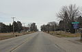
County Line is an unincorporated community located on the border of Marinette and Oconto counties, in the U.S. state of Wisconsin.
Goll is an unincorporated community located in the town of Wagner, Marinette County, Wisconsin, United States.
Cloverton is an unincorporated community in New Dosey Township, Pine County, Minnesota, United States.
Malvern is an unincorporated community located in the town of Pelican, Oneida County, Wisconsin, United States. Malvern is 6.5 miles (10.5 km) east-southeast of Rhinelander.
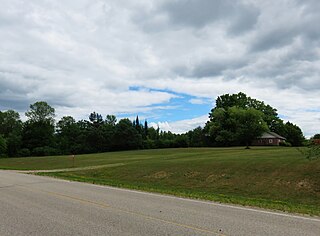
Rangeline is an unincorporated community located in the towns of Day and Green Valley, Marathon County, Wisconsin, United States. It is located along County Road C approximately 6 miles East of State Highway 97, or 3 miles East of Rozellville.
Ashland Junction is an unincorporated community located in the town of Eileen, Bayfield County, Wisconsin, United States.

Markville is an unincorporated community in Arna Township, Pine County, Minnesota, United States, located along the Saint Croix River.
Kingsdale is an unincorporated community in New Dosey Township, Pine County, Minnesota, United States.