
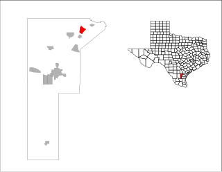
Pettus is a census-designated place (CDP) in Bee County, Texas, United States. The population was 449 at the 2020 census.

Skidmore is a census-designated place (CDP) in Bee County, Texas, United States. The population was 863 at the 2020 census.

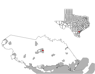
Arroyo Colorado Estates is a census-designated place (CDP) in Cameron County, in the U.S. state of Texas. The population was 997 at the 2010 census. It is part of the Brownsville–Harlingen Metropolitan Statistical Area.

Bixby is a census-designated place (CDP) in Cameron County, Texas, United States. The population was 352 at the 2020 census. It is part of the Brownsville–Harlingen Metropolitan Statistical Area.

El Camino Angosto is a census-designated place (CDP) in Cameron County, Texas, United States. The population was 186 at the 2020 census. It is part of the Brownsville–Harlingen Metropolitan Statistical Area.

Green Valley Farms is a census-designated place (CDP) in Cameron County, Texas, United States. The population was 655 at the 2020 census, down from 1,272 at the 2010 census. It is part of the Brownsville–Harlingen Metropolitan Statistical Area.

Reid Hope King is a census-designated place (CDP) in Cameron County, Texas, United States. The population was 667 at the 2020 census. It is part of the Brownsville–Harlingen Metropolitan Statistical Area.

San Pedro is a census-designated place (CDP) in Cameron County, Texas, United States. The population was 442 at the 2020 census. It is part of the Brownsville–Harlingen Metropolitan Statistical Area.

Yznaga is a census-designated place (CDP) in Cameron County, Texas, United States. The population was 108 at the 2020 census. It is part of the Brownsville–Harlingen Metropolitan Statistical Area.

Indian Hills is a census-designated place (CDP) in Hidalgo County, Texas, United States. At the 2020 United States Census, the population was 2,694. It is part of the McAllen–Edinburg–Mission Metropolitan Statistical Area.
K-Bar Ranch is a census-designated place (CDP) in Jim Wells County, Texas, United States. The population was 375 at the 2020 census.

Westdale is a census-designated place (CDP) in Jim Wells County, Texas, United States. The population was 325 at the 2020 census, up from 372 at the 2010 census.

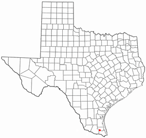
Chula Vista, formerly known as Rosita North, is a census-designated place (CDP) in Maverick County, Texas, United States. The population was 5,100 at the 2020 census.

Rancho Banquete is a census-designated place (CDP) in Nueces County, Texas, United States. The population was 459 at the 2020 census, down from 424 at the 2010 census.
Rancho Chico is a census-designated place (CDP) in San Patricio County, Texas, United States. The population was 387 at the 2020 census.

St. Paul is a census-designated place (CDP) in San Patricio County, Texas, United States. The population was 608 at the 2020 census.

Santa Monica is a census-designated place (CDP) in Willacy County, Texas, United States. The population was 86 at the 2020 census.
Sebastian is a census-designated place (CDP) in Willacy County, Texas, United States. The population was 1,684 at the 2020 census.

Zapata Ranch is a census-designated place (CDP) in Willacy County, Texas, United States. The population was 87 at the 2020 census.

Morgan Farm is a census-designated place (CDP) in San Patricio County, Texas, United States. The population was 573 at the 2020 census. Prior to the 2010 census, Morgan Farm CDP was known as Morgan Farm Area CDP.


