
Shirdi is a town and pilgrimage site in the Indian state of Maharashtra. Shirdi is located in the Rahata taluka of Ahmednagar District. It is accessible via the Ahmednagar–Malegaon State Highway No.10, approximately 83 km (52 mi) from Ahmednagar and 15 km (9.3 mi) from Kopargaon. It is located 185 km (115 mi) east of the Ahmednagar–Manmad road. Shri Saibaba Sansthan Trust is located in Shirdi.
Nadbai is a city and a municipality in Bharatpur district in the Indian state of Rajasthan. Nadbai is administratively divided into Katra and Nadbai. It is also a subdivisional and tehsil headquarter in Bharatpur district.
Chakpara is a census town in Bally Jagachha CD Block of Howrah Sadar subdivision in Howrah district in the Indian state of West Bengal. Chakpara is under the jurisdiction of Liluah Police Station of Howrah City Police.
Haldaur is a town and a municipal board in Bijnor district in the Indian state of Uttar Pradesh.
Kamalganj is a town and a nagar panchayat in Farrukhabad district in the Indian state of Uttar Pradesh. The town is one of the key contributors to Potato production in the district.

Kashinagar is a town and headquarters of a community development block of the same name in Gajapati district in the Indian state of Odisha.
Kiraoli is a town and a nagar panchayat in Agra district in the Indian state of Uttar Pradesh.
Mangawan is a town and a nagar panchayat in Rewa district in the Indian state of Madhya Pradesh. It is 30 km (19 mi) from the District headquarters of Rewa city. NH 7 and NH 27 goes through Mangawan. Prayagraj is 96 km (60 mi) on NH 27 and Varanasi is 220 km (140 mi) on NH 7 and Manikwar is 15 km (9.3 mi)
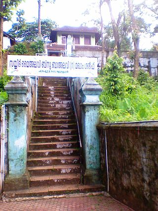
Paduvilayi is a census town in Kannur district in the Indian state of Kerala. Paduvilayi is situated In Anjarakandi. More than 20000 people live in this census town

Pandavapura is a Municipality Town in Mandya district in the Indian state of Karnataka.
Panniyannur is a census town in Thalassery taluk of Kannur district in the Indian state of Kerala. It is part of Greater Mahé Region.
Seoni Malwa is a town and a municipality in Narmadapuram district in the Indian state of Madhya Pradesh.

Tarakeswar is a famous sacred city and a municipality in Hooghly district in the Indian state of West Bengal. Tarakeswar is called "Baba Dham" or "The city of Shiva". It is one of the major tourist and holy place of West Bengal as well as India. Tarakeswar is a place of pilgrimage of Lord Shiva sect in West Bengal 58 kilometres (36 mi) away from State Capital Kolkata.
Una is a town and a municipality in Gir Somnath district of the Saurashtra region in the state of Gujarat, India.

Mahmudabad, also known as Mahmudabad Awadh is a town and a municipal board in Sitapur district in the Indian state of Uttar Pradesh.

Samba is a town, municipal committee, and administrative headquarter of Samba district of the Indian-administered Jammu and Kashmir in the disputed Kashmir region. Samba has his own railway station are Samba railway station on Jammu-Delhi railway line.

Kartarpur is a town, near the city of Jalandhar in Jalandhar district in the Indian state of Punjab and is located in the Doaba region of the state. It was founded by the fifth Guru of the Sikhs, Guru Arjan.

Serilingampally, also known as Lingampally, is a major suburb located in the north western part of Hyderabad city, India. It is the headquarters of the Serilingamapally mandal in the Ranga Reddy district of the Indian state of Telangana. It is administered by the Greater Hyderabad Municipal Corporation (GHMC). Due to its close proximity to HITEC City, Gachibowli, Nanakramguda, Manikonda and Kondapur, there has been a heavy influx of IT companies. University of Hyderabad (UoH) is also located here.
Shirahatti is a panchayat town in Gadag district in the Indian state of Karnataka.
Tarasadi is a city and municipality in Surat district in the Indian state of Gujarat. The town is located 45 km North-East of Surat on Surat-Mumbai highway near Kosamba.

