Related Research Articles

Champawat is a town and a Nagar Palika Parishad in Champawat district in the state of Uttarakhand, India. It is the administrative headquarters of Champawat district. The town was the former capital of the Kumaon Kingdom.

Almora is a district in the Kumaon Division of Uttarakhand state, India. The headquarters is at Almora. It is 1,638 meters above sea level. The neighbouring regions are Pithoragarh district to the east, Chamoli district to the west, Bageshwar district to the north and Nainital district to the south.

Udham Singh Nagar is a district of Uttarakhand state in northern India. Rudrapur is the district headquarter. The district consists of nine Tehsils named Bajpur, Gadarpur, Jaspur, Kashipur, Khatima, Kichha, Nanakmatta, Rudrapur, Sitarganj. The district is located in the Terai region, and is part of Kumaon Division. It is bounded on the north by Nainital District, on the northeast by Champawat District, on the east by Nepal, and on the south and west by Bareilly, Rampur, Moradabad, Pilibhit and Bijnor District of Uttar Pradesh state. The district was created on 29 September 1995, by Mayawati government out of Nainital District. It is named for freedom fighter and Indian revolutionary Udham Singh.
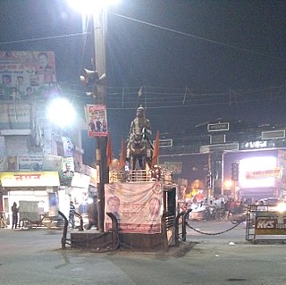
Kashipur is a city of Udham Singh Nagar district in the Indian state of Uttarakhand, and one of its seven subdivisions. Located in the western part of Udham Singh Nagar district, it is Kumaun's third most populous city and the sixth most populous in Uttarakhand. According to the 2011 Census of India, the population is 121,623 for the city of Kashipur and 283,136 for Kashipur Tehsil. Kashipur also has IIM Kashipur, one of the thirteen Indian Institutes of Managements the government has set up during the Eleventh Five-year Plan.

Bhowali is a town and a municipal board in Nainital District in the state of Uttarakhand, India. It is situated at a distance of 11 km (6.8 mi) from the city of Nainital, the district headquarters; at an average elevation of 1,654 m (5,427 ft) from sea level. It is the seat of Bhowali tehsil, one of the eight subdivisions of Nainital district.

Gadarpur is a post independence city and a municipal board in Udham Singh Nagar district in the state of Uttarakhand, India. This city was formed with the arrival of the refugees from Pakistan at the time of partition of 1947. The refugees settled here and started living here. The refugees are Punjabi which makes up a majority in the city.
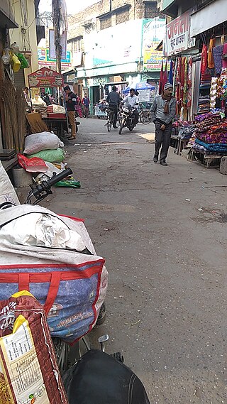
Jaspur is a developing town and a municipal board in Udham Singh Nagar district in the Indian state of Uttarakhand.
Kelakhera is a Municipality Town in Tehsil Bajpur of Udham Singh Nagar district in the Indian state of Uttarakhand.
Thakurdwara is a town in Moradabad district in the indian state of Uttar Pradesh.

Ramnagar is a town and municipal board in the Nainital district of Kumaon in the state of Uttarakhand, India. It is located approximately 65 kilometres (40 mi) from Nainital, the headquarters of the district.

Kausani is a hill station and Village situated in Bageshwar district in the state of Uttarakhand, India. It is known for its scenery and its 300 km-wide panoramic view of Himalayan peaks like Trisul, Nanda Devi and Panchchuli. Mahatma Gandhi called this place the 'Switzerland of India', due to similarity in landscapes.
Motahaldu or Himmatpur Motahaldu is a village in Lalkuan sub-district, Nainital district, in the Indian state of Uttarakhand. It sits on National Highway 109, and is c. 8 kilometres (5.0 mi) south of Haldwani. The nearest railway station is Lalkuan Junction (LKU) and the nearest airport is Pantnagar Airport (PGH).

Matkunda is a village in the Thalisain tehsil of Bironkhal block in Pauri Garhwal district, Uttarakhand, India.
Rehar is a small town in Bijnor district, in Uttar Pradesh state, India.

Giwaipani or Gewaipani is a hill station (village) in Almora district in the Indian state of Uttarakhand. According to the 2011 census it has a population of 291 living in 72 households. Its main agriculture product is ragi.
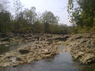
Maldhan chaur is situated 19 km from Ramnagar and 23 km from Kashipur, having an area of around 15 to 20 villages in Ramnagar Block in 'Nainital' District of Uttarakhand, also called 'Devbhumi'. It has more than 20,000 of population, most of the population belongs to the Kumauni and Garhwali communities. The literacy rate is moderate. Most of the employed people work for government sector or near by Companies. The primary languages are Pahari, Garwali, Hindi and English. Here is very famous dam named as 'Tumariya Dam' which is used for irrigation of crops and for fishing and also a Tourist Attaraction.
Bajauniyahaldu is a village in the foothills of Nainital district.
Betalghat is a small town and tehsil in Nainital district, Uttarakhand, India. As of 2011, it had a total population of 21,265 spread over 4,357 households.

Bigwara is a village and gram panchayat in Rudrapur city, Udham Singh Nagar district in the Indian state of Uttarakhand. Bigwara is located in the fertile Terai region on National Highway 74, 3km milestone from Rudrapur. Since the establishment of SIDCUL, the village has enjoyed rapid development.
Gadkhark is a village in the Thalisain tehsil of Bironkhal block in Pauri Garhwal district, Uttarakhand, India.
References
- ↑ "Demographic" (PDF). censusindia.gov.in.
- ↑ "Haridwar: Tiger attacks 34-year-old van gujjar in Terai west forest division". timesofindia.indiatimes.com.
- ↑ "Local Demographic". indiapost.gov.in.