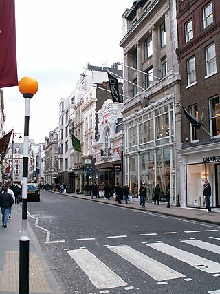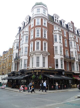
Alfred Place is a street in Bloomsbury, London, running between Chenies Street and Store Street.

Alfred Place is a street in Bloomsbury, London, running between Chenies Street and Store Street.

Alfred Place runs from Chenies Street in the north to Store Street in the south. It runs parallel with Ridgmount Street and Tottenham Court Road.
There is a cycle hire point at the south end of the street.
The street is home to:
The poet Thomas Campbell (1777–1844) lived in Alfred Place in 1837. [3]
Irish dramatist, James Sheridan Knowles (1784–1862), lived at number 29. [4]

Bloomsbury is a district in the West End of London, part of the London Borough of Camden in England. It is considered a fashionable residential area, and is the location of numerous cultural, intellectual, and educational institutions. Bloomsbury is home of the British Museum, the largest museum in the United Kingdom, and several educational institutions, including University College London and a number of other colleges and institutes of the University of London as well as its central headquarters, the New College of the Humanities, the University of Law, the Royal Academy of Dramatic Art, the British Medical Association and many others. Bloomsbury is an intellectual and literary hub for London, as home of world-known Bloomsbury Publishing, publishers of the Harry Potter series, and namesake of the Bloomsbury Group, a group of British intellectuals which included author Virginia Woolf, biographer Lytton Strachey, and economist John Maynard Keynes.

Tottenham Court Road is a major road in Central London, almost entirely within the London Borough of Camden.

St Giles Circus is a road junction in the St Giles district of the West End of London at the eastern end of Oxford Street, where it connects with New Oxford Street, Charing Cross Road and Tottenham Court Road, which it is more often referred to owing to the location of Tottenham Court Road Underground station directly under the junction. It is near to Soho, Covent Garden, Bloomsbury and Fitzrovia.

Fitzrovia is a district of central London, England, near the West End. The eastern part of the area is in the London Borough of Camden, and the western in the City of Westminster. It has its roots in the Manor of Tottenham Court, and was urbanised in the 18th century. Its name was coined in the late 1930s by Tom Driberg.

High Holborn is a street in Holborn and Farringdon Without, Central London, which forms a part of the A40 route from London to Fishguard. It starts in the west at the eastern end of St Giles High Street and runs past the Kingsway and Southampton Row, becoming Holborn at its eastern junction with Gray's Inn Road. The western stretch, as far as Drury Lane, was formerly known as Broad Street. On High Holborn, traffic flows one-way westbound from its junction with Drake Street to its western end, and flows both ways for the remainder.

Bond Street in the West End of London links Piccadilly in the south to Oxford Street in the north. Since the 18th century the street has housed many prestigious and upmarket fashion retailers. The southern section is Old Bond Street and the longer northern section New Bond Street, a distinction not generally made in everyday usage.

Queen Square is a garden square in the Bloomsbury district of central London. Many of its buildings are associated with medicine, particularly neurology.

Great Russell Street is a street in Bloomsbury, London, best known for being the location of the British Museum. It runs between Tottenham Court Road in the west, and Southampton Row in the east. It is one-way only (eastbound) between its western origin at Tottenham Court Road and Bloomsbury Street.

The New Road was a toll road built across fields around the northern boundaries of London, the first part of which opened in 1756. The route comprises the modern-day A501.

Charlotte Street is a street in Fitzrovia, historically part of the parish and borough of St Pancras, in central London. It has been described, together with its northern and southern extensions, as the spine of Fitzrovia.
London Knowledge Lab was a research centre in Bloomsbury, London. It was founded in 2004 as a collaboration between the Institute of Education and Birkbeck, University of London. It was an interdisciplinary research centre, bringing together over 50 researchers from both social sciences and computer science backgrounds. The Institute of Education and Birkbeck announced the end of their collaboration in February 2016. Both institutions are continuing the work in their own separate Knowledge Lab research centres.

Lamb's Conduit Street is a street in Holborn in the West End of London. The street takes its name from Lambs Conduit, originally known as the Holborn Conduit, a dam across a tributary of the River Fleet.

The Bedford Estate is an estate in central London owned by the Russell family, which holds the peerage title of Duke of Bedford. The estate was originally based in Covent Garden, then stretched to include Bloomsbury in 1669. The Covent Garden property was sold for £2 million in 1913 by Herbrand Russell, 11th Duke of Bedford, to the MP and land speculator Harry Mallaby-Deeley, who sold his option to the Beecham family for £250,000; the sale was finalised in 1918.

Chenies Street is a street in Bloomsbury, London, that runs between Tottenham Court Road and Gower Street. It is the location of a number of notable buildings such as Minerva House, the Drill Hall, and a memorial to The Rangers, 12th County of London Regiment. North Crescent starts and ends on the northern side of Chenies Street.

Huntley Street is a street in Bloomsbury, London, known for its close association with University College Hospital.

Ridgmount Street is a street in Bloomsbury, London.

Ridgmount Gardens is a street in Bloomsbury, London, that runs from Torrington Place in the north to Chenies Street in the south. It runs parallel with Huntley Street and Gower Street and is continued by Ridgmount Place in the south.

Torrington Place is a street in London that runs between Tottenham Court Road in the West and Byng Place in the East. It is crossed by Huntley Street and Gower Street. Chenies Mews joins it on the north side and is continued by Ridgmount Gardens on the south side.

Store Street is a street in Bloomsbury, London.
This is a list of the etymology of street names in the London district of Bloomsbury. The following utilises the generally accepted boundaries of Bloomsbury viz. Euston Road to the north, Gray's Inn Road to the east, New Oxford Street, High Holborn, Southampton Row and Theobald's Road to the south and Tottenham Court Road to the west.
51°31′12″N0°07′58″W / 51.5200°N 0.1327°W