Related Research Articles

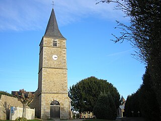
Saint-Céneri-le-Gérei is a commune in the Orne department in north-western France.

Saint-Pierre-des-Nids is a commune in the Mayenne department in north-western France.

Coulonges-sur-Sarthe is a commune in the Orne department in north-western France.

Saint-Martin-l'Aiguillon is a commune in the Orne department in north-western France.
Saint-Sauveur-de-Carrouges is a commune in the Orne department in north-western France. As of 2019, the commune had a total population of 252 residents.
Gesvres is a commune in the Mayenne department located in the Pays de la Loire region in north-western France. According to dat.gouv.fr website, the INSEE code for Gesvres is 53106, the postal code is 53370. The population of Gesvres was 509 in 2019.

La Lande-de-Goult is a commune in the Orne department in north-western France.

Francheville is a commune in the Orne department in north-western France.

Le Cercueil is a commune in the Orne department in north-western France.

Moulins-le-Carbonnel is a commune in the Sarthe department in the region of Pays de la Loire in north-western France.
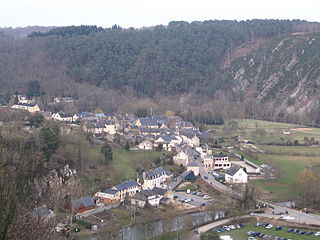
Saint-Léonard-des-Bois is a commune in the Sarthe department in the region of Pays de la Loire in north-western France.
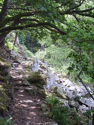
Normandie-Maine Regional Natural Park is a protected area of forest and bocage located in the French regions of Normandy and Pays de la Loire.
Haute vallée de l'Orne et affluents translated as the Upper Orne Valley and tributaries is a Natura 2000 conservation area that is 20,593 hectares in size. The site is managed by CPIE Collines normandes.
Haute Vallée de la Sarthe translated as the Upper Sarthe VAlley is a Natura 2000 conservation area that is 3,503 hectares in size.
Haute Vallée de la Touques et affluents translated as the Upper Touques valley and tributaries is a Natura 2000 conservation area that is 1,400 hectares in size.
Sites d'Ecouves is a Natura 2000 site within the Orne department. The protected area is based on the Cance River.
Vallée du Sarthon et affluents translated as Sarthon Valley and tributaries is a Natura 2000 conservation area that is 5,255 hectares in size.
Forêts et étangs du Perche translated as the Forest and ponds of Perche is a Natura 2000 conservation area that is 47,681 hectares in size.
Bassin de l'Andainette translated as the Andainette basin is a Natura 2000 conservation area that is 1,024 hectares in size.
Landes du Tertre Bizet et Fosse Arthour is a Natura 2000 conservation area that is 222 hectares in size.
References
- 1 2 "INPN - FSD Natura 2000 - FR5200646 - Alpes Mancelles - Description".
- ↑ "Site Natura 2000 «Alpes Mancelles»" (PDF). CRPF Pays de la Loire.
- ↑ "Natura 2000 - Parc Naturel Régional Normandie-Maine". www.parc-naturel-normandie-maine.fr.
- 1 2 "EUNIS -Site factsheet for Alpes Mancelles". eunis.eea.europa.eu.