| Aneli | |
|---|---|
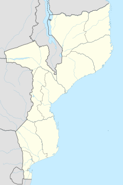 Aneli Location in Mozambique | |
| Coordinates: 13°1′35″S39°30′38″E / 13.02639°S 39.51056°E Coordinates: 13°1′35″S39°30′38″E / 13.02639°S 39.51056°E | |
| Country | |
| Province | Cabo Delgado Province |
| District | Ancuabe District |
| Time zone | Central Africa Time (UTC+2) |
Aneli is a village in Ancuabe District in Cabo Delgado Province in northeastern Mozambique. [1]

A village is a clustered human settlement or community, larger than a hamlet but smaller than a town, with a population ranging from a few hundred to a few thousand. Though villages are often located in rural areas, the term urban village is also applied to certain urban neighborhoods. Villages are normally permanent, with fixed dwellings; however, transient villages can occur. Further, the dwellings of a village are fairly close to one another, not scattered broadly over the landscape, as a dispersed settlement.

Ancuabe District is a district of Cabo Delgado Province in northern Mozambique. It covers 4,984 km² with 199,457 inhabitants in 2015. Its seat is the town of Ancuabe.

Cabo Delgado is the northernmost province of Mozambique. It has an area of 82,625 km² and a population of 2,333,278 (2017). As well as bordering the neighboring country of Tanzania, it borders the provinces of Nampula and Niassa. The region is an ethnic stronghold of the Makonde tribe. Macua and Mwani ethnic groups are also present.