Apura | |
|---|---|
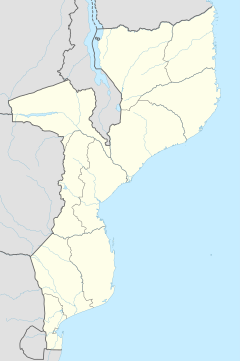 Apura Location in Mozambique | |
| Coordinates: 13°1′43″S39°31′14″E / 13.02861°S 39.52056°E | |
| Country | |
| Province | Cabo Delgado Province |
| District | Ancuabe District |
| Time zone | UTC+2 (Central Africa Time) |
Apura is a village in Ancuabe District in Cabo Delgado Province in northeastern Mozambique. [1]