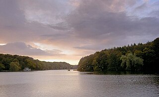
Newmillerdam is a village and suburb of Wakefield, in West Yorkshire, England. The name refers to the lake and country park adjacent to the village. The park is a local nature reserve.
Anston is a civil parish in South Yorkshire, England, formally known as North and South Anston. The parish of Anston consists of the settlements of North Anston and South Anston, divided by the Anston Brook.

Suffolk Wildlife Trust (SWT) describes itself as the county's "nature charity – the only organisation dedicated wholly to safeguarding Suffolk's wildlife and countryside." It is a registered charity, and its headquarters is at Brooke House in Ashbocking, near Ipswich. It was founded in 1961, and is one of 46 wildlife trusts covering the Great Britain and Northern Ireland. As of March 2017, it has 13,200 members, and it manages 3,120 hectares of land in 60 nature reserves, most of which are open to the public. It had an income of £3.9 million in the year to 31 March 2017.

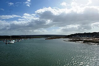
The River Yar on the Isle of Wight, England, rises near the beach at Freshwater Bay, on the south coast, and flows only a few miles north to Yarmouth where it meets the Solent. Most of the river is a tidal estuary. Its headwaters have been truncated by erosion of the south coast.

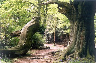
Ecclesall Woods is an area of woodland in south-west Sheffield, South Yorkshire, England, between Abbeydale Road South and Ecclesall. It covers approximately 350 acres (1.4 km2) of mature semi-natural deciduous woodland which was previously used for timber and charcoal, and is currently managed by the city council for the benefit of wildlife and visitor access. There are two roads and over 10 miles (16 km) of public footpaths running through the woods. The Abbeydale miniature railway is also located within the woods.

Wharncliffe Crags is a gritstone escarpment or edge situated approximately 6 miles (10 km) north-west of the city of Sheffield in South Yorkshire, England. It is a geological Site of Special Scientific Interest.

Breary Marsh is a Local Nature Reserve and Site of Special Scientific Interest situated adjacent to Golden Acre Park in Leeds, West Yorkshire, England, grid reference SE264416.

Bentley Priory Nature Reserve is a Site of Special Scientific Interest and Local Nature Reserve in Stanmore in the London Borough of Harrow, surrounding the stately home of Bentley Priory. It is a 55 hectare mosaic of ancient woodland, unimproved neutral grassland, scrub, wetland, streams and an artificial lake, an unusual combination of habitats in Greater London.

Burbage Wood and Aston Firs is a 51.1-hectare (126-acre) biological Site of Special Scientific Interest in Leicestershire.


