Anchorage is a home rule-class city in eastern Jefferson County, Kentucky, United States. The population was 2,348 at the 2010 census and an estimated 2,425 in 2016. It is one of the wealthiest cities in Kentucky and a suburb of Louisville.

Tropojë District was one of the thirty-six districts of Albania that is now part of Kukës County. It had a population of 16,260, and an area of 1,043 km². It is in the north of the country, and its capital is Bajram Curri. The area is also known for its massive chestnuts forests and the Valbonë river, as well a rich folk culture.

Awasa is a city in Ethiopia, on the shores of Lake Awasa in the Great Rift Valley. It is located 273 km south of Addis Ababa via Bishoftu, 130 km east of Sodo, and 75 km north of Dilla. The town serves as the capital of the Southern Nations, Nationalities, and Peoples' Region, and is a special zone of this region. It lies on the Trans-African Highway 4 Cairo-Cape Town, and has a latitude and longitude of 7°3′N38°28′E and an elevation of 1708 meters above sea level.

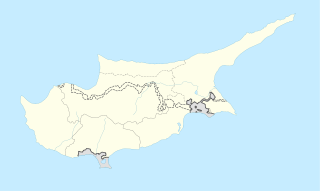
Anthoupolis is a village, south of Nicosia, Cyprus. Anthoupolis is a rather new area which was created after the Turkish Invasion of 1974 to house refugees. The original refugee site is slowly abandoned and new houses and projects are being held to regenerate the wider area. The Greek name means Flower-City or in a more metaphorical sense flowering, expanding city.

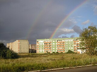
Bolderāja is a neighbourhood of Riga, the capital of Latvia. It is located on the left bank of the Daugava River, in Kurzeme District. Bolderāja probably began as a fishing village. The area has been inhabited since at least the 10th century and possibly for a longer period, however there is no firm evidence because of variations in the course of the Daugava River and the shifting of sand dunes.
Seleucia at the Zeugma was a Hellenistic city or fortified town in the present Republic of Turkey, on the left, or south, bank of the Euphrates, across from ancient Samosata and not far from it.

Peristeri Stadium is a multi-purpose stadium in Peristeri, a western district of Athens, in Greece.

Klaukkala is a village in the southern part of the Nurmijärvi municipality of Finland, near the Valkjärvi lake.
Drosia is a neighbourhood in the city of Patras, Greece, 3 km east-southeast of downtown.
Riganokampos is a neighbourhood in the eastern part of the city of Patras by the foot of the Panachaiko mountains.
Zavlani is a neighbourhood in the northeastern part of the city of Patras, 4 kilometres (2.5 mi) direct and 5 kilometres (3.1 mi) via road from the downtown core. The neighbourhood bears the football (soccer) club team named A.P.S. Zavlani and plays in the prefectural fourth division.

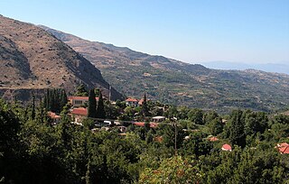
Seliana also known as Phelloe is a village in the municipal unit of Aigeira, in the eastern part of Achaea, north Peloponnese, Greece. The village had a population of 52 in 2011. Aigeira is 10 km to the north, and Kalavryta is 21 km to the west. Seliana is connected by a 19 km road that leads to the town of Aegeira and the Greek National Road 8A, Athens - Corinth - Aigeira - Patras.

Baldovinești is a commune in Olt County, Romania. It is composed of three villages: Baldovinești, Gubandru and Pietriș. It included four other villages until 2004, when they were split off to form Găvănești Commune.

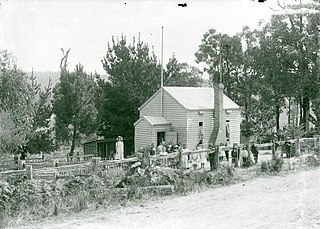
Yinnar South is a small rural town in the Latrobe Valley in Victoria, Australia.

Uzuki was one of twelve Mutsuki-class destroyers built for the Imperial Japanese Navy (IJN) during the 1920s. During the Pacific War, she participated in the Battle of Wake Island in December 1941 and the occupations of New Guinea and the Solomon Islands in early 1942.
Luoxi Island is an island in Dashi Town (大石镇), Panyu District, Guangzhou City, Guangdong Province,China. It is located in the northeast of Nanpu Island to the south of Haizhu Island and to the west of Xiaoguwei Island. It is about 9.85 square kilometres (3.80 sq mi) in area and connects to the Guangzhou urban area via the Luoxi Bridge (洛溪大桥), Xinguang Bridge (新光大桥) and Panyu Bridge (番禺大桥).
Asos is a village on the west coast of the island of Cephalonia, Greece. It is part of the municipal unit Erisos.
Pir Ilahi Buksh Colony or Pir Elahi Bux Colony or PIB Colony is one of the neighbourhoods of Gulshan Town in Karachi, Sindh, Pakistan.

Chijire Glacier is a glacier flowing to the coast just east of Chijire Rocks in Queen Maud Land. It was mapped from surveys and air photos by the Japanese Antarctic Research Expedition, 1957–62, who also gave the name.
Narla is a town in Narla Tehsil in Kalahandi district in the Indian state of Odisha. This town is maintaining 29 km distance from its district main city Bhawanipatna and 430 km far from its state capital Bhubaneswar.


