
Burcott is a hamlet in the civil parish of Bierton, in Buckinghamshire, England. Until 2020 it was in Bierton with Broughton parish.

Burcott is a hamlet in the civil parish of Wing, in Buckinghamshire, England. Burcott is a common place name in the English language. The place name is Old English and refers to a fortified cottage.
Botolph Claydon is a hamlet in the civil parish of East Claydon, in Buckinghamshire, England. It is situated about 9 miles (14 km) east of Bicester in Oxfordshire, and 7 miles (11 km) north west of Aylesbury.

Cooks Wharf is a hamlet in the parish of Cheddington, in Buckinghamshire, England. It is located where the main road into Cheddington from Pitstone crosses the Grand Union Canal. At the 2011 census the population of the area was included in the civil parish of Marsworth.

Aston Mullins is a hamlet in the parish of Dinton, in Buckinghamshire, England. At the 2011 Census the population of the hamlet was included in the civil parish of Dinton-with-Ford and Upton

Barmpton is a small village and civil parish in the borough of Darlington and the ceremonial county of County Durham, England. The population taken at the 2011 Census was less than 100. Details are maintained in the parish of Great Burdon. It is situated a short distance to the north-east of Darlington, on the River Skerne, a tributary of the Tees.

Brafferton is a village and civil parish in County Durham, England. It is administered as part of the borough of Darlington. The population of Brafferton Parish taken at the 2011 census was 154. It is situated between Darlington and Newton Aycliffe, a short distance from Coatham Mundeville.

Bagstone is a village in South Gloucestershire, England. Bagstone is on the B4058 between Rangeworthy and Cromhall.
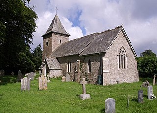
Beaworthy is a village and civil parish in the West Devon district of Devon, England. According to the 2001 census it had a population of 236.

Bulkworthy is a village and civil parish in the Torridge district of Devon, England, about 9 miles southwest of Great Torrington, and on the River Torridge. According to the 2001 census it had a population of 83. It is listed in the Domesday Book as Buchesworde.
Gosford and Water Eaton is a civil parish in the Cherwell district of the county of Oxfordshire, England. It is north of the city of Oxford and is crossed nearby by two major roads for, or by-passing, the city. The parish contains the village of Gosford and the hamlet of Water Eaton and as at the 2011 census had 1373 people resident across its 8.75 km2.

Bovingdon Green is a hamlet in the civil parish of Great Marlow, just to the west of the town of Marlow in Buckinghamshire, England.
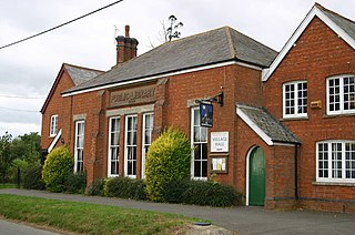
Bennett End is a hamlet near Radnage and Bledlow Ridge in Buckinghamshire, England. At the 2011 Census the population of the hamlet was included in the civil parish of Lane End.

Auchinleish is a village in Angus, Scotland.

Brathens is a village in Aberdeenshire, Scotland.

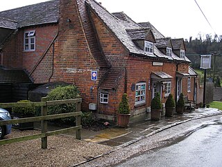
Bockmer End is a hamlet in the civil parish of Medmenham to the west of Marlow in Buckinghamshire, England. It is in the town of Marlow.

Coddington is a civil parish in the unitary authority of Cheshire West and Chester and the ceremonial county of Cheshire, England.

Brightwalton Green is a hamlet in the civil parish of Brightwalton in the county of Berkshire, England. The settlement lies near to the A338 road, and is situated approximately 8 miles (13 km) north-west of Newbury.

The Ordnance Survey (OS) is the national mapping agency for Great Britain. The agency's name indicates its original military purpose, which was to map Scotland in the wake of the Jacobite rising of 1745. There was also a more general and nationwide need in light of the potential threat of invasion during the Napoleonic Wars. Since 1 April 2015, the Ordnance Survey has operated as Ordnance Survey Ltd, a government-owned company, 100% in public ownership. The Ordnance Survey Board remains accountable to the Secretary of State for Science, Innovation and Technology. It was also a member of the Public Data Group.
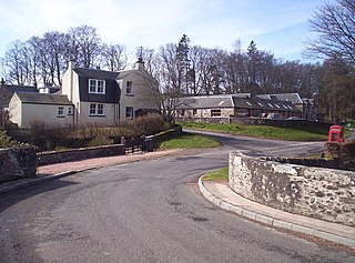
Bridgend of Lintrathen is a village in Angus, Scotland. It is situated on the southern shore of Loch of Lintrathen, six miles west of Kirriemuir.

