Related Research Articles

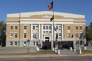
Tripp County is a county in the U.S. state of South Dakota. As of the 2020 census, the population was 5,624. Its county seat is Winner. The county was created in 1873, and was organized in 1909. It is named for lawyer, judge, and diplomat Bartlett Tripp.

Todd County is a county in the U.S. state of South Dakota. As of the 2020 census, the population was 9,319. Todd County does not have its own county seat. Instead, Winner in neighboring Tripp County serves as its administrative center. Its largest city is Mission. The county was created in 1909, although it remains unorganized. The county was named for John Blair Smith Todd, a delegate from Dakota Territory to the United States House of Representatives and a Civil War general.

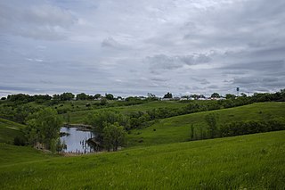
Mellette County is a county in the U.S. state of South Dakota. As of the 2020 census, the population was 1,918. Its county seat is White River. The county was created in 1909, and was organized in 1911. It was named for Arthur C. Mellette, the last Governor of the Dakota Territory and the first Governor of the state of South Dakota.

Lyman County is a county located in the U.S. state of South Dakota. As of the 2020 census, the population was 3,718. Its county seat is Kennebec.

Jones County is a county in the U.S. state of South Dakota. As of the 2020 census, the population was 917, making it the least populous county in South Dakota. Its county seat is Murdo. Created in 1916 and organized in 1917, it is the most recently established county in South Dakota. It was named after Granville Whittington Jones, an Arkansas-born clergyman/lawyer, who moved to Chamberlain, SD and became a noted Chautauqua speaker.

Bennett County is a county in the U.S. state of South Dakota. As of the 2020 census, the population was 3,381. Its county seat is Martin. The county lies completely within the exterior boundary of the Pine Ridge Indian Reservation. To the east is the Rosebud Indian Reservation, occupied by Sicangu Oyate, also known the Upper Brulé Sioux Nation and the Rosebud Sioux Tribe (RST), a branch of the Lakota people.

Mellette is a city in Spink County, South Dakota, United States. The population was 199 at the 2020 census.
Fairview Township may refer to:

Arthur Calvin Mellette was the last Governor of Dakota Territory, the first Governor of the State of South Dakota, and an American Civil War veteran.

The Rosebud Indian Reservation is an Indian reservation in South Dakota, United States. It is the home of the federally recognized Rosebud Sioux Tribe, who are Sicangu, a band of Lakota people. The Lakota name Sicangu Oyate translates as the "Burnt Thigh Nation", also known by the French term, the Brulé Sioux.
Zickrick is a township in Jones County, South Dakota, United States. It is 1,985 feet (605 m) above sea level.
Lugenbeel County was a former county in South Dakota, United States. The county's name originated from Pinkney Lugenbeel, a military commander in the area. Originally part of the Dakota Territory, the district in 1889 became a part of the state of South Dakota. The county existed until June 2, 1909, at which point both Lugenbeel County and Meyer County were absorbed into Bennett County, Todd County, and Mellette County, respectively.
Kampeska is an unincorporated community in Codington County, in the U.S. state of South Dakota.
Brandon Township is a township in Minnehaha County, in the U.S. state of South Dakota.
Humboldt Township is a township in Minnehaha County, in the U.S. state of South Dakota.
Badnation is an unincorporated community in Mellette County, in the U.S. state of South Dakota.
Cedar Butte is an unincorporated community in Mellette County, in the U.S. state of South Dakota.
Kary is a ghost town in Mellette County, in the U.S. state of South Dakota.
Lyons Township is a township in Minnehaha County, in the U.S. state of South Dakota.
Mosher is an unincorporated community in Mellette County, in the U.S. state of South Dakota.
References
- ↑ U.S. Geological Survey Geographic Names Information System: Bad Nation Township, Mellette County, South Dakota
- ↑ Federal Writers' Project (1940). South Dakota place-names, v.1-3. University of South Dakota. p. 25.
43°36′01″N100°20′35″W / 43.6003°N 100.3430°W
