Trier-Saarburg is a district in the west of Rhineland-Palatinate, Germany. Neighboring districts are Bitburg-Prüm, Bernkastel-Wittlich, Birkenfeld, Sankt Wendel (Saarland), and Merzig-Wadern (Saarland). To the west it borders Luxembourg. The district-free city Trier is completely surrounded by the district.

Schönebeck, officially Schönebeck (Elbe), is a town in the district of Salzlandkreis, in Saxony-Anhalt, Germany. It is situated on the left bank of the Elbe, approx. 14 kilometres southeast of Magdeburg.

Ruhpolding is a municipality of the Traunstein district in southeastern Bavaria, Germany. It is situated in the south of the Chiemgau region in the Alps and next to the Austrian border.

Eichstruth is a municipality in the district of Eichsfeld in Thuringia, Germany. By area, it is the smallest municipality in what was East Germany, although there are 35 rural municipalities ("Gemeinden") and one city ("Stadt"), Arnis, in what was West Germany that have lesser or equal area.

Municipalities are the lowest level of official territorial division in Germany. This can be the second, third, fourth or fifth level of territorial division, depending on the status of the municipality and the Land it is part of. The city-states Berlin and Hamburg are second-level divisions. A Gemeinde is one level lower in those states which also include Regierungsbezirke as an intermediate territorial division. The Gemeinde is one level higher if it is not part of a Gemeindeverband.

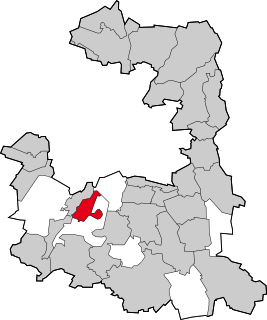
Hermsdorf is a town in the Saale-Holzland district of the state of Thuringia in eastern Germany. It is especially known for the motorway junction "Hermsdorfer Kreuz" where the two German autobahns A 4 and A 9 meet.
Gräfelfing is a municipality in the district of Munich, in Bavaria, Germany. It is located 1 km west of Munich.
Grünwald is a municipality in the district of Munich, in the state of Bavaria, Germany. It is located on the right bank of the Isar, 12 km southwest of Munich (centre). As of 31 December 2011 it had a population of 11,109.

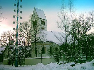
Bürgel is a town in the Saale-Holzland district, in Thuringia, Germany. It is situated 12 km east of Jena. It contains the Benedictine monastery of Bürgel Abbey.

Triptis is a town in the Saale-Orla-Kreis district, in Thuringia, Germany. It is situated 22 km southwest of Gera. The town is the seat of the municipal association Triptis.

Brannenburg is a municipality in the district of Rosenheim in Bavaria in Germany. There is a train station is located in Brannenburg.
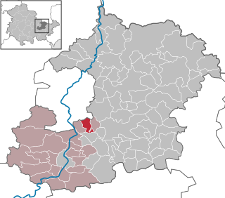
Insul is a municipality in the district of Ahrweiler, in Rhineland-Palatinate, Germany.

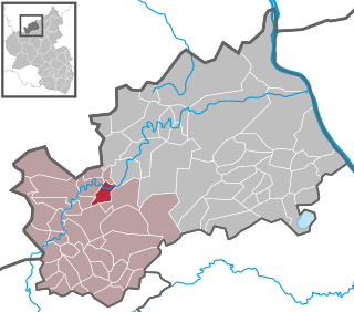
Neidenbach is a municipality in the district of Bitburg-Prüm, in Rhineland-Palatinate, western Germany.

Albersdorf is a municipality in the Saale-Holzland district of Thuringia, Germany. As of 2018, the population is 288.

Karlsdorf is a municipality in the district Saale-Holzland, in Thuringia, Germany.

Waltersdorf is a municipality in the district Saale-Holzland, in Thuringia, Germany.

Hummelshain is a municipality in the district Saale-Holzland, in Thuringia, Germany.

Tautenburg is a municipality in the district Saale-Holzland, in Thuringia, Germany. It is home to the Karl Schwarzschild Observatory.
Zöllnitz is a municipality in the district of Saale-Holzland in Thuringia, Germany.


