Padera, also spelled Pandera, is a village in Harchandpur block of Raebareli district, Uttar Pradesh, India. As of 2011, its population is 3,034, in 564 households. It has one primary school and no healthcare facilities.

Kandaura is a village in Harchandpur block of Raebareli district, Uttar Pradesh, India. As of 2011, its population is 4,494, in 832 households. It has two primary schools and no healthcare facilities.

Chinahat is a block in Lucknow City, Uttar Pradesh, India. According to 2011 Census of India the population of the village is 137,251 out of whom 71,211 are males and 66,040 are females. The village code is 0297. Lucknow serves as the block headquarters. The block is part of two tehsils, with some parts belonging to Lucknow tehsil and other parts belonging to Bakshi Ka Talab tehsil.
Shivpuri, also spelled Shiupuri, is a village in Bakshi Ka Talab block of Lucknow district, Uttar Pradesh, India. As of 2011, its population is 3,747, in 648 households. It is the seat of a gram panchayat, which also includes the village of Bhikhampur.

Fatehganj is a village in Purwa block of Unnao district, Uttar Pradesh, India. It is located on a major district road and has one primary school and no healthcare facilities. As of 2011, its population is 798, in 245 households.

Riwan is a village in Shivgarh block of Rae Bareli district, Uttar Pradesh, India. As of 2011, its population is 3,220, in 556 households. It has two primary schools and no healthcare facilities.

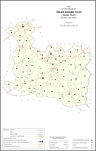
Rajamau is a village in Tiloi block of Rae Bareli district, Uttar Pradesh, India. As of 2011, its population is 2,171, in 329 households. It has one primary school and no healthcare facilities.

Bhadsana is a village in Tiloi block of Rae Bareli district, Uttar Pradesh, India. As of 2011, its population is 1,862, in 343 households.

Bahadurpur, also called Bahadurpur Da Jayas, is a village and corresponding community development block in Tiloi tehsil of Rae Bareli district, Uttar Pradesh, India. It is located 3 km from the town of Jais. As of 2011, its population is 17,595, in 2,951 households. The main staple foods are wheat and rice.

Kathwara is a village in Harchandpur block of Rae Bareli district, Uttar Pradesh, India. It is located 13km from Raebareli, the district headquarters, on the road to Lucknow, and on the left bank of the Baita river not far from its confluence with the Sai. The railway passes by Kathwara, and the closest station is at Harchandpur. As of 2011, the population of Kathwara is 5,115, in 921 households. It has two primary schools and no healthcare facilities.

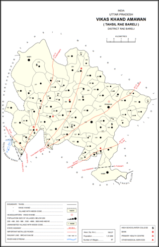
Rasulpur is a village in Amawan block of Rae Bareli district, Uttar Pradesh, India. It is located 29 km from Raebareli, the district headquarters. As of 2011, its population is 514, in 94 households.

Khaira is a village in Amawan block of Rae Bareli district, Uttar Pradesh, India. It is located 18 km from Raebareli, the district headquarters. As of 2011, its population is 851, in 157 households. It has one primary school and no healthcare facilities.

Lalumau is a village in Lalganj block of Rae Bareli district, Uttar Pradesh, India. It is located 6 km from Lalganj, the block and tehsil headquarters. As of 2011, it has a population of 1,852 people, in 336 households. It has two primary schools and no healthcare facilities.

Kundwal is a village in Dalmau block of Rae Bareli district, Uttar Pradesh, India. As of 2011, it has a population of 4,461 people, in 832 households.

Chichauli is a village in Jagatpur block of Rae Bareli district, Uttar Pradesh, India. As of 2011, it has a population of 4,189 people, in 711 households. It has 3 primary schools and no healthcare facilities.

Newada is a village in Unchahar block of Raebareli district, Uttar Pradesh, India. It is located 29 km from Raebareli, the district headquarters. As of 2011, it has a population of 814 people, in 137 households.

Chandrai is a village in Unchahar block of Raebareli district, Uttar Pradesh, India. It is located 30 km from Raebareli, the district headquarters. As of 2011, it has a population of 1,455 people, in 300 households. It has one primary school and no healthcare facilities.

Sarai Hardo is a village in Unchahar block of Raebareli district, Uttar Pradesh, India. It is located 30 km from Raebareli, the district headquarters. As of 2011, it has a population of 1,398 people, in 347 households.

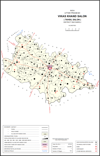
Kamaluddinpur is a village in Salon block of Rae Bareli district, Uttar Pradesh, India. It is located 48 km from Raebareli, the district headquarters. As of 2011, Kamaluddinpur has a population of 1,446 people, in 254 households. It does not host a permanent market, but it does host a periodic haat.

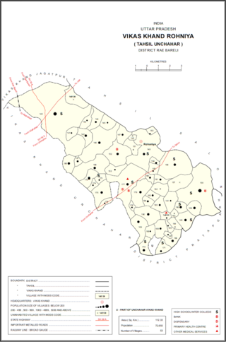
Marhamau is an abandoned village in Rohaniya block of Rae Bareli district, Uttar Pradesh, India. It is located 44 km from Raebareli, the district headquarters. As of 2011, Marhamau is uninhabited, although the land is used for agricultural purposes. The village lands cover 213.3 hectares, all of which was used as farmland in 2011.


