Benton Township, Benton County, Iowa

Last updated

Benton Township
Map highlighting Benton Township, Benton County, Iowa.svg
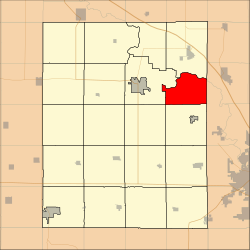
Location in Benton County
Coordinates: 42°09′14″N91°53′07″W / 42.15389°N 91.88528°W / 42.15389; -91.88528
Country Flag of the United States.svg United States
State Flag of Iowa.svg Iowa
County Benton
Area
  Total
22.57 sq mi (58.46 km2)
  Land22.39 sq mi (57.99 km2)
  Water0.18 sq mi (0.47 km2)  0.8%
Elevation
928 ft (283 m)
Population
 (2000)
  Total
900
  Density40/sq mi (15.5/km2)
Time zone UTC-6 (CST)
  Summer (DST) UTC-5 (CDT)
ZIP codes
52332, 52349
GNIS feature ID 0467440

Benton Township is one of twenty townships in Benton County, Iowa, United States. As of the 2000 census its population was 900. [1]

Contents

History

Benton Township was founded in 1846. [2]

Geography

According to the United States Census Bureau, Benton Township covers an area of 22.57 square miles (58.46 square kilometers); of this, 22.39 square miles (57.99 square kilometers, 99.2 percent) is land and 0.18 square miles (0.47 square kilometers, 0.8 percent) is water.

Extinct towns

(These towns are listed as "historical" by the USGS.)

Adjacent townships

Cemeteries

The township contains McBroom Cemetery.

Lakes

Landmarks

School districts

Political districts

References

  1. "U.S. Census website" . Retrieved May 7, 2009.
  2. The History of Benton County, Iowa, Containing a History of the County, Its Cities, Towns, &c. Western Historical. 1878. pp.  312.