Eldorado Township | |
|---|---|
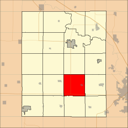 Location in Benton County | |
| Coordinates: 41°59′36″N92°00′35″W / 41.99333°N 92.00972°W | |
| Country | |
| State | |
| County | Benton |
| Area | |
• Total | 35.60 sq mi (92.21 km2) |
| • Land | 35.60 sq mi (92.21 km2) |
| • Water | 0 sq mi (0 km2) 0% |
| Elevation | 942 ft (287 m) |
| Population (2000) | |
• Total | 1,240 |
| • Density | 35/sq mi (13.4/km2) |
| Time zone | UTC-6 (CST) |
| • Summer (DST) | UTC-5 (CDT) |
| ZIP codes | 52209, 52315, 52346, 52354 |
| GNIS feature ID | 0467771 |
Eldorado Township is one of twenty townships in Benton County, Iowa, United States. As of the 2000 census, its population was 1,240. [1]
