Annapurna is a village development committee in Bhojpur District in Province No. 1 of eastern Nepal. At the time of the 1991 Nepal census it had a population of 1856 persons living in 360 individual households.
Bastim is a village development committee in Bhojpur District in Province No. 1 of eastern Nepal. At the time of the 1991 Nepal census it had a population of 2920 persons living in 556 individual households.
Bhubal is a village development committee in Bhojpur District in Province No. 1 of eastern Nepal. At the time of the 1991 Nepal census it had a population of 2,150.
Boya is a village development committee in Bhojpur District in the Kosi Zone of eastern Nepal. At the time of the 1991 Nepal census it had a population of 4107 persons living in 447 individual households.
Champe is a village development committee in Bhojpur District in the Kosi Zone of eastern Nepal. At the time of the 1991 Nepal census it had a population of 2974 persons living in 561 individual households.
Charambi is a village development committee in Bhojpur District in the Kosi Zone of eastern Nepal. At the time of the 1991 Nepal census, it had a population of 3331 people living in 604 individual households.
Dalgaun is a village development committee in Bhojpur District in the Kosi Zone of eastern Nepal. At the time of the 1991 Nepal census it had a population of 2,412 persons living in 521 individual households.
Deurali is a village development committee in Bhojpur District in the Kosi Zone of eastern Nepal. At the time of the 1991 Nepal census it had a population of 5367 persons living in 1052 individual households.
Dobhane is a village development committee in Bhojpur District in the Kosi Zone of eastern Nepal. At the time of the 1991 Nepal census it had a population of 4760 persons living in 860 individual households.
Kimalung,, is a village development committee in Bhojpur District in the Kosi Zone of eastern Nepal. At the time of the 1991 Nepal census it had a population of 1,594 persons living in 293 individual households.
Keurepani is a village development committee in Bhojpur District in the Kosi Zone of eastern Nepal. At the time of the 1991 Nepal census it had a population of 4,098 persons living in 794 individual households.
Khartimchha is a village development committee in Bhojpur District in the Kosi Zone of eastern Nepal. At the time of the 1991 Nepal census it had a population of 1847.
Khatamma is a village development committee in Bhojpur District in the Kosi Zone of eastern Nepal. At the time of the 1991 Nepal census it had a population of 2,151 persons living in 407 individual households.
Khawa is a village development committee in Bhojpur District in the Kosi Zone of eastern Nepal. At the time of the 1991 Nepal census it had a population of 2610 persons living in 494 individual households.
Kot is a village development committee in Bhojpur District in the Kosi Zone of eastern Nepal. At the time of the 1991 Nepal census it had a population of 4485.
Kudak Kaule is a village development committee in Bhojpur District in the Kosi Zone of eastern Nepal. At the time of the 1991 Nepal census it had a population of 2734 persons living in 507 individual households.
Kulung is a village development committee in Bhojpur District in the Kosi Zone of eastern Nepal. At the time of the 1991 Nepal census it had a population of 4095 persons living in 746 individual households. The postal code of Kulung bhojpur is 57001. The Kulung are one of the indigenous communities of Nepal, as well as parts of northeastern Sikkim and Darjeeling district of India, having their own Kulung language, culture, history and tradition. This name comes after their majority there but nowadays there is mixed locality.

Mane Bhanjyang is a village development committee in Bhojpur District in Province No. 1 of eastern Nepal. According to 1991 census, it had a population of 2,832 living in 503 individual households. Mane Bhanjyang is the birthplace and hometown of Nepal's former president, Bidhya Devi Bhandari.
Shyamsila is a village development committee in Bhojpur District in the Kosi Zone of eastern Nepal. At the time of the 1991 Nepal census it had a population of 2793.
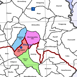
Taksar is a former VDC and now a neighborhood of Bhojpur Municipality in Bhojpur District in Province No. 1 of eastern Nepal. At the time of the 1991 Nepal census, Taksar had a population of 4,524 persons living in 829 individual households.

