| Birendra Lake | |
|---|---|
| Birendra Taal (Nepali) | |
 | |
 Birendra Lake  Birendra Lake  Birendra Lake | |
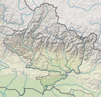
| Location | Birendra Taal, Samagaun, Nepal |
| Coordinates | 28°35′45″N84°37′42″E / 28.59583°N 84.62833°E |
| Basin countries | Nepal |
| Surface elevation | 3,691 metres (12,110 ft) |
 | |
Birendra Lake (Birendra Tal), is a freshwater lake located in Manaslu Glacier in Gorkha District in northern-central Nepal at an elevation of approximately 4500m. [1] The lake is named behind the Late King Birendra of Nepal. In 2024, an avalanche caused it to discharge a deluge of water over its banks. [2]