Bosco, Louisiana

Last updated

Bosco
USA Louisiana relief location map.svg
Red pog.svg
Bosco
Location in Louisiana
Coordinates: 32°17′23″N92°4′52″W / 32.28972°N 92.08111°W / 32.28972; -92.08111
CountryUnited States
StateLouisiana
Parish Ouachita
Time zone UTC−6 (CST)
  Summer (DST) UTC−5 (CDT)
Area code 318
GNIS feature ID553755

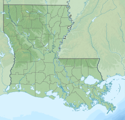
Bosco is an unincorporated community in Ouachita Parish, Louisiana, United States. [1] The community is positioned off U.S. Route 165 near the boundary with Caldwell Parish and is located 12 miles north of Columbia, 15 miles south of Monroe and 23 miles west of Winnsboro.
History

It was named after the Boscobel plantation. [2] Two remaining buildings, Boscobel Plantation Cottage and Bosco Plantation House, are listed on the National Register of Historic Places.

Negro league baseball player Sam Holmes was born in Bosco.

References

  1. U.S. Geological Survey Geographic Names Information System: Bosco, Louisiana
  2. Leeper, Clare D'Artois (October 19, 2012). Louisiana Place Names: Popular, Unusual, and Forgotten Stories of Towns, Cities, Plantations, Bayous, and Even Some Cemeteries. LSU Press. p. 44. ISBN   978-0-8071-4740-5.

32°17′23″N92°4′52″W / 32.28972°N 92.08111°W / 32.28972; -92.08111