
Botswana is a landlocked country located in Southern Africa, north of South Africa. Botswana occupies an area of 581,730 square kilometres (224,610 sq mi), of which 566,730 km2 (218,820 sq mi) are land. Botswana has land boundaries of combined length 4,347.15 kilometres (2,701.19 mi), of which the constituent boundaries are shared with Namibia, for 1,544 km (959 mi); South Africa 1,969 km (1,223 mi); Zimbabwe, 834 km (518 mi) and Zambia, 0.15 km (0.093 mi). Much of the population of Botswana is concentrated in the eastern part of the country.

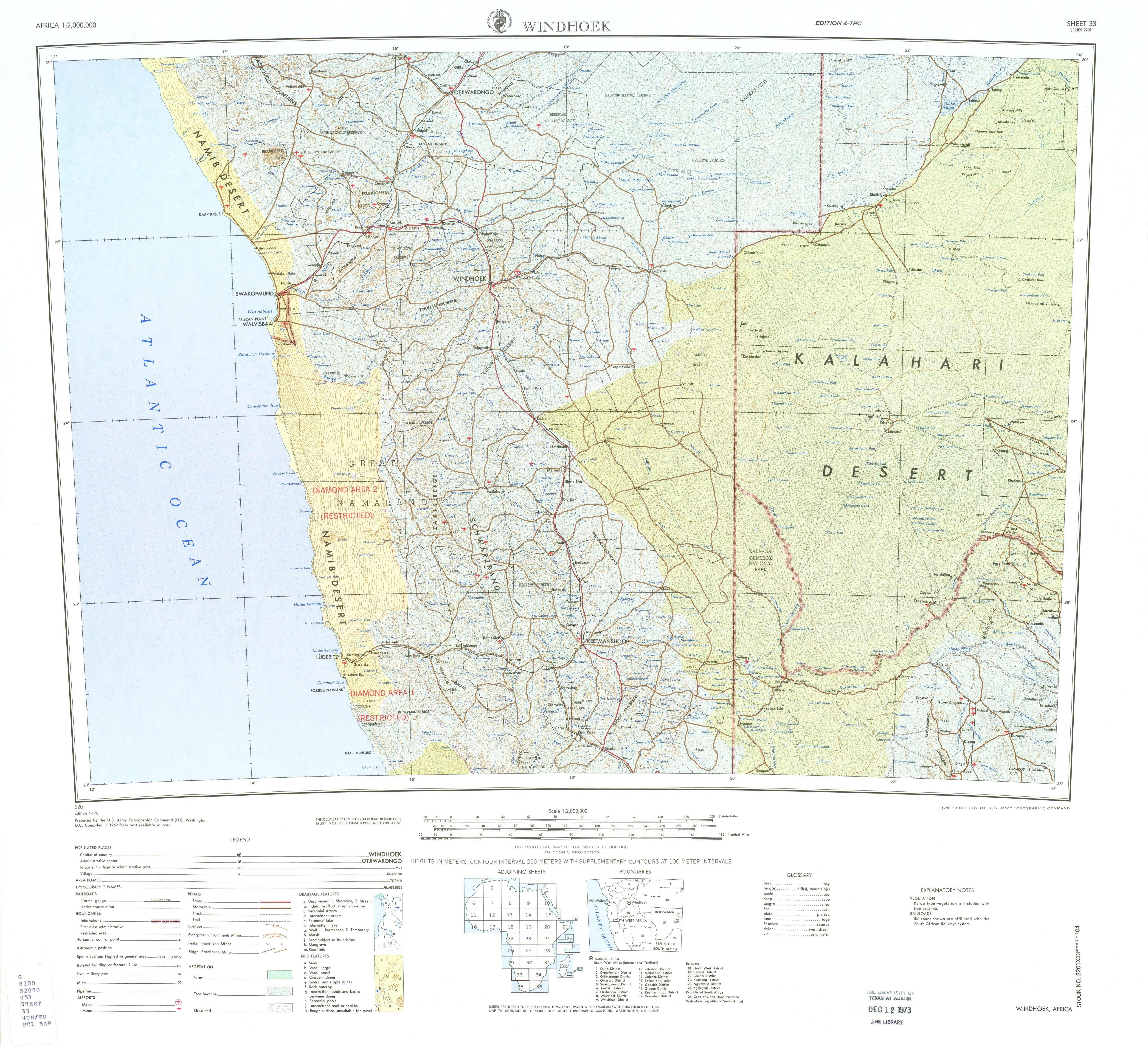
The Kalahari Desert is a large semi-arid sandy savanna in Southern Africa extending for 900,000 square kilometres (350,000 sq mi), covering much of Botswana, as well as parts of Namibia and South Africa.

The Okavango River, is a river in southwest Africa. It is known by this name in Botswana, and as Cubango in Angola, and Kavango in Namibia. It is the fourth-longest river system in southern Africa, running southeastward for 1,600 km (1,000 mi). It begins at an elevation of 1,300 metres (4,300 ft) in the sandy highlands of Angola. Farther south, it forms part of the border between Angola and Namibia, and then flows into Botswana. The Okavango does not have an outlet to the sea. Instead, it discharges into the Okavango Delta or Okavango Alluvial Fan, in an endorheic basin in the Kalahari Desert. The Cuito River is a major tributary.

The Okavango Delta in Botswana is a vast inland delta formed where the Okavango River reaches a tectonic trough at an altitude of 930–1,000 m in the central part of the endorheic basin of the Kalahari Desert.

Lake Makgadikgadi was a paleolake that existed in what is now the Kalahari Desert in Botswana from 2,000,000 years BP to 10,000 years BP. It may have once covered an area of from 80,000 to 275,000 km2 and was 30 metres (98 ft) deep. The Okavango, Upper Zambezi, and Cuando rivers once all emptied into the lake. Its remains are seen in the Makgadikgadi salt pans, one of the largest salt pans in the world.

The Cuando River is a river in south-central Africa flowing through Angola and Namibia's Caprivi Strip and into the Linyanti Swamp on the northern border of Botswana. Below the swamp, the river is called the Linyanti River and, farther east, the Chobe River, before it flows into the Zambezi River.

Maun is the fifth-largest town in Botswana. As of 2011, it had a population of 55,784. Maun is the "tourism capital" of Botswana and the administrative centre of Ngamiland district. Francistown and Maun are linked by the A3 highway. Maun is also the headquarters of numerous safari and air-charter operations who run trips into the Okavango Delta.

The North-West District or Ngamiland is one of the first-level administrative subdivisions of Botswana. For census and administrative purposes Ngamiland is subdivided into Ngamiland East, Ngamiland West and Ngamiland Delta (Okavango). It is governed by a District Commissioner, appointed by the national government, and the elected North-West District Council. The administrative centre is Maun.

The Thamalakane River is a river located in Botswana, Africa, at the southern end of the Okavango Delta. It has no well defined beginning (spring) and no clear end (delta). It is the result of the Thamalakane fault - which began to form about two million years ago by the geological process of rifting that is currently splitting Africa apart along the East African Rift.

The Makgadikgadi Pan, a salt pan situated in the middle of the dry savanna of north-eastern Botswana, is one of the largest salt flats in the world. The pan is all that remains of the formerly enormous Lake Makgadikgadi, which once covered an area larger than Switzerland, but dried up tens of thousands of years ago. Recent studies of human mitochondrial DNA suggest that modern Homo sapiens first began to evolve in this region some 200,000 years ago, when it was a vast, exceptionally fertile area of lakes, rivers, marshes, woodlands and grasslands especially favorable for habitation by evolving hominins and other mammals.

The Kalahari Basin, also known as the Kalahari Depression, Okavango Basin or the Makgadikgadi Basin, is an endorheic basin and large lowland area covering approximately 725,293 km2 (280,037 sq mi) — mostly within Botswana and Namibia, but also parts of Angola, South Africa, Zambia, and Zimbabwe. The outstanding physical feature in the basin, and occupying the centre, is the large Kalahari Desert.

The wildlife of Botswana refers to the flora and fauna of this country. Botswana is around 90% covered in savanna, varying from shrub savanna in the southwest in the dry areas to tree savanna consisting of trees and grass in the wetter areas. Even under the hot conditions of the Kalahari Desert, many species survive; in fact the country has more than 2500 species of plants and 650 species of trees. Vegetation and its wild fruits are also extremely important to rural populations living in the desert and are the principal source of food, fuel and medicine for many inhabitants.

The Shashe River is a major left-bank tributary of the Limpopo River in Zimbabwe. It rises northwest of Francistown, Botswana and flows into the Limpopo River where Botswana, Zimbabwe and South Africa meet. The confluence is at the site of the Greater Mapungubwe Transfrontier Conservation Area.
Mmatshumo is a village in the Boteti District in Botswana. The village was established around 1939–1941 as a results of severe drought experienced in Mopipi. The establishment was effected at the same time with that of Letlhakane, Mosu and Gweta villages.The inhibitants are of diverse tribes who live harmoniously together and intermary. The inhabitants practice agriculture to sustain themselves. The village is located close to the Makgadikgadi Pan. An area of wide open uninhabited spaces with endless horizons i.e. the remains of what used to be the largest ancient mainland superlake. The village is a gate way to Lekhubu Island The village has administrative offices i.e. kgotla currently headed by kgosi Phetsogang, primary school, postoffice, bars, shops and a health clinic. In the north of Mmatshumo village lies Khubu Island aka Gaio and in the south of this village lies Damtshaa diamond mine operated by Debswana Company. The road linking Letlhakane in the south to Mmatshumo is tarred. Due to the diamond mining activities in the vicinity of this village, it is expected to see population and business boom in the coming years. According to 2022 Botswana Population and Housing Census, Mmatshumo and associated localities had a total population of 1719.
Mopipi is a village in Central District of Botswana. It is located close to Makgadikgadi Pan. The population was 3,066 in 2001 census. This village was named after a tree called Mopipi, which is commonly found in the region. This area has witnessed steady acidification and desertification since the Pleistocene, but perhaps most dramatically since the 19th century. In particular, the Boteti River used to flow year around in this area on its way to discharge to the Makgadikgadi Pans, but presently this flow is only in the rainy season.
The Sua Pan or Sowa Pan is a large natural topographic depression within the Makgadikgadi region of Botswana. It is located near the village of Sowa, whose name means salt in the language of the San. The Sua salt pan is one of three large pans within the Makgadikgadi, the other two being Nxai Pan and Nwetwe Pan.
The Nata River or Manzamnyama River is a natural watercourse in Southern Africa. It is an ephemeral river flowing in Zimbabwe and Botswana. It has a length of 330 kilometres (210 mi) from its source to mouth, 210 kilometres (130 mi) in Zimbabwe and 120 kilometres (75 mi) in Botswana. Its total catchment area is 24,585 square kilometres (9,492 sq mi). The river originates in Sandown, a small farming town located on the Zimbabwean central watershed 50 kilometres (31 mi) south west of Bulawayo and ends in the Makgadikgadi Pans in Botswana. There is no outlet from the salt pans which can be considered as the “dead sea” of the south. The upper reaches of the river are located in a commercial farming area where good environmental and farming practices have resulted in the river experiencing very little siltation/sedimentation. Impressive sedimentation starts occurring about 65 kilometres (40 mi) along the river course marking the beginning of a 90-kilometre (56 mi) stretch in Zimbabwe where the river passes through communal farming areas. It is on this stretch where the sand-abstraction potential of the river is realised and communities rely on the sand river water for domestic, farming and livestock purposes. Within the country of Botswana the Nata River is a source of water to the ephemeral wetlands of the Makgadikgadi Pans, where a number of species of limited distribution thrive. Specifically the Nata River discharges to Sua Pan, draining parts of eastern Botswana and southwestern Zimbabwe.
Lake Xau is a lake that is sometimes a dry lakebed in Botswana. It is fed by the Boteti River and the Okavango Delta. The lake has been described as "when it holds water, ... one of the most important wetlands for waterfowl in Southern Africa".
Water use in alluvial fans refers to irrigation systems using the water resources in alluvial fans, mainly river floods and groundwater recharged by infiltration of rain or river water, to enhance the production of agricultural crops.

