
Hobart is the capital and most populous city of the island state of Tasmania, Australia. Home to almost half of all Tasmanians, it is the southernmost and least-populated Australian state capital city, and second-smallest if territories are taken into account, before Darwin, Northern Territory. Hobart is located in Tasmania's south-east on the estuary of the River Derwent, making it the most southern of Australia's capital cities. Its skyline is dominated by the 1,271-metre (4,170 ft) kunanyi/Mount Wellington, and its harbour forms the second-deepest natural port in the world, with much of the city's waterfront consisting of reclaimed land. The metropolitan area is often referred to as Greater Hobart, to differentiate it from the City of Hobart, one of the seven local government areas that cover the city. It has a mild maritime climate.

The Tasman Peninsula, officially Turrakana / Tasman Peninsula, is a peninsula located in south-east Tasmania, Australia, approximately 75 km (47 mi) by the Arthur Highway, south-east of Hobart.

The Mornington Peninsula is a peninsula located south of Melbourne, Victoria, Australia. It is surrounded by Port Phillip to the west, Western Port to the east and Bass Strait to the south, and is connected to the mainland in the north. Geographically, the peninsula begins its protrusion from the mainland in the area between Pearcedale and an area north of Frankston. The area was originally home to the Mayone-bulluk and Boonwurrung-Balluk clans and formed part of the Boonwurrung nation's territory prior to European settlement.
Swansea is a town in the heart of Tasmania's east coast, on the north-west shore of Great Oyster Bay and overlooking Freycinet National Park. It was the first municipality in Australia to be established after Hobart and Sydney. At the 2021 census, Swansea had a population of 997.

Kentish Council is a local government body in Tasmania, situated in the north-west of the state, to the south and inland from Devonport. Kentish is classified as a rural local government area and has a population of 6,324, the major towns of the municipality are Sheffield, Railton and Wilmot.

Penguin is a town on the north-west coast of Tasmania, Australia. It is in the Central Coast Council local government area and on the Bass Highway, between Burnie and Ulverstone. At the 2021 census, Penguin had a population of 6,729.
Gloucester, a town in dairy and beef cattle country, is located in Mid-Coast Council, within the Barrington Coast hinterland of the lower Mid North Coast of the state of New South Wales, Australia. It is the closest town to world heritage Barrington Tops National Park.

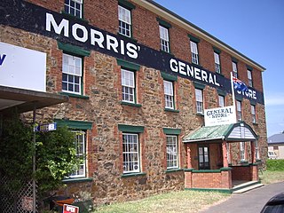
Sheffield is a town 23 kilometres inland from Devonport on the north-west coast of Tasmania. Sheffield has long been the rural hub for the Mount Roland area. The Sheffield area is well known for its high quality butterfat production via dairy farming. The area is suitable for lamb and beef production. The town of Railton is nearby. At the 2021 census, Sheffield had a population of 1,602.

Strahan Airport is an airport located 2 nautical miles west of Strahan, Tasmania, Australia. It is the main airport for the West Coast of Tasmania, and is owned and maintained by the West Coast Council. The need for an airport in the area was suggested in the 1950s, and suggestions for upgrades have occurred over time.
The modern history of the Australian city of Hobart in Tasmania dates to its foundation as a British colony in 1804. Prior to British settlement, the area had been occupied for at least 8,000 years, but possibly for as long as 35,000 years, by the semi-nomadic Mouheneener tribe, a sub-group of the Nuenonne, or South-East tribe. The descendants of the indigenous Tasmanians now refer to themselves as 'Palawa'.
Cygnet is a town in the Huon Valley, south of Huonville, Tasmania.
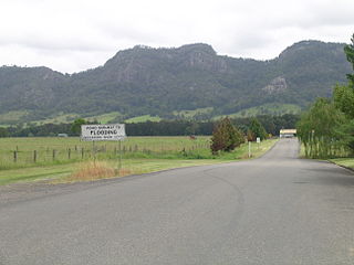
Mount Roland is a locality, a mountain, and a conservation area in the north west coast region of Tasmania, Australia.
Arthur River is the name of a small township on the northern part of the West Coast of Tasmania, Australia. At the 2021 census, Arthur River and the surrounding area had a population of 32.

Cockle Creek is the farthest point south one can drive in Australia. It is located on Recherche Bay on the edge of the Southwest National Park, part of the Tasmanian Wilderness World Heritage Area.

Great Oyster Bay is a broad and sheltered bay on the east coast of Tasmania, Australia which opens onto the Tasman Sea. The Tasman Highway runs close to the West Coast of the bay with views of the granite peaks of the Hazards and Schouten Island of the Freycinet Peninsula which are incorporated in the Freycinet National Park.
The Spero River is a perennial river located in the West Coast or South West region of Tasmania, Australia.
Granville Harbour is a rural locality in the local government area (LGA) of West Coast in the North-west and west LGA region of Tasmania. The locality is about 35 kilometres (22 mi) north-west of the town of Zeehan. The 2016 census has a population of 27 for the state suburb of Granville Harbour.

Isle of the Dead is an island, about 1 hectare in area, adjacent to Port Arthur, Tasmania, Australia. It is historically significant since it retains an Aboriginal coastal shell midden, one of the first recorded sea-level benchmarks, and one of the few preserved Australian convict-period burial grounds. The Isle of the Dead occupies part of the Port Arthur Historic Site, is part of Australian Convict Sites and is listed as a World Heritage Property because it represents convictism in the era of British colonisation.

The 2016 Tasmanian Bushfires were a large series of bushfires in Tasmania which started in January 2016 throughout the state, and continued into February 2016, with considerable damage to fire sensitive areas in the Central Highlands, West Coast and South West regions. By autumn 2016, no bushfires were reported within the state.
The Arthur River is a major perennial river located in the north-west region of Tasmania, Australia.

