
Scoresby Sound is a large fjord system of the Greenland Sea on the eastern coast of Greenland. It has a tree-like structure, with a main body approximately 110 km (68 mi) long that branches into a system of fjords covering an area of about 38,000 km2 (14,700 sq mi). The longest of the fjords extends 340–350 km (210-216 mi) inland from the coastline. The depth is 400–600 m (1,310-1,970 ft) in the main basin, but depths increase to up to 1,450 m (4,760 ft) in some fjords. It is one of the largest and longest fjord systems in the world.
Cape Farewell is a headland on the southern shore of Egger Island, Nunap Isua Archipelago, Greenland. As the southernmost point of the country, it is one of the important landmarks of Greenland.

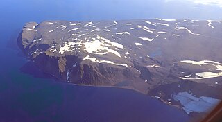
Jameson Land is a peninsula in eastern Greenland.
Cape Alexander is a headland in the Baffin Bay, northwest Greenland, Avannaata municipality. It is one of the important landmarks of Greenland.
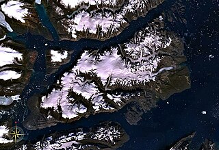
Milne Land or Milneland is a large island in eastern Greenland. It is the third largest island of Greenland, after the main island of Greenland and Disko Island. It is named after British admiral David Milne.
Liverpool Land is a peninsula in eastern Greenland.
Cape Desolation, also known as 'Cape Brill', is a headland in southwest Greenland in the Kujalleq municipality.
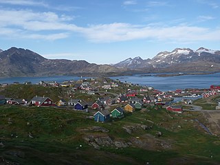
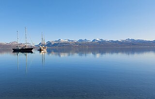
Iivit or Tunumiit are Indigenous Greenlandic Inuit from Iivi Nunaa, Tunu in the area of Kangikajik and Ammassalik, the eastern part of Inuit Nunaat. The Iivit live now mainly in Tasiilaq and Ittoqqortoormiit and are a part of the Arctic people known collectively as the Inuit. The singular for Iivit is Iik or for Tunumiit version it is Tunumiu.
Cape Melville is a headland in the Avannaata municipality, NW Greenland.
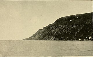
Cape Brewster is a headland in the Greenland Sea, east Greenland, Sermersooq municipality.

Nordvestfjord, meaning 'Northwest Fjord', is a fjord in King Christian X Land, eastern Greenland.

Gaasefjord is a fjord in King Christian X Land, eastern Greenland. This fjord is part of the Scoresby Sound system. Administratively it lies in the area of Sermersooq municipality.

Fonfjord is a fjord in King Christian X Land, eastern Greenland. This fjord is part of the Scoresby Sound system. Administratively it lies in the area of Sermersooq municipality.

Carlsberg Fjord is a fjord in King Christian X Land, eastern Greenland.
Hurry Inlet is a fjord in King Christian X Land, eastern Greenland. This fjord is part of the Scoresby Sound system. Administratively it lies in the area of Sermersooq municipality.

Cape Moltke is a headland in the North Atlantic Ocean, southeast Greenland, Kujalleq municipality.
Cape Brown is a headland in the Greenland Sea, east Greenland, Sermersooq municipality.
Cape Biot is a headland in the Greenland Sea, Northeast Greenland, Sermersooq municipality.
Cape Simpson is a headland in the Greenland Sea, Northeast Greenland. Administratively it is part of the Northeast Greenland National Park.

Cape Christiansen is a headland in North Greenland. Administratively it belongs to the Northeast Greenland National Park.


