
Peary Land is a peninsula in northern Greenland, extending into the Arctic Ocean. It reaches from Victoria Fjord in the west to Independence Fjord in the south and southeast, and to the Arctic Ocean in the north, with Cape Morris Jesup, the northernmost point of Greenland's mainland, and Cape Bridgman in the northeast.
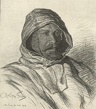
Johan Peter Koch was a Danish captain and explorer of the Arctic dependencies of Denmark, born at Vestenskov. He was the uncle of the geologist Lauge Koch

Kaiser Franz Joseph Fjord is a major fjord system in the NE Greenland National Park area, East Greenland.

Frederick E. Hyde Fjord is a fjord in Peary Land, far northern Greenland.
The Blosseville Coast is a long stretch of coast in King Christian IX Land, eastern Greenland. Administratively it belongs to the Sermersooq Municipality.

Vice Admiral Sir Georg Carl Amdrup, RN was a Danish naval officer, Vice Admiral and Greenland researcher.
Tobias Island is a small island off the northeastern coast of Greenland.

Hovgaard Island is a large uninhabited island of the Greenland Sea, Greenland. The island was named after Andreas Hovgaard, a polar explorer and officer of the Danish Navy who led an expedition to the Kara Sea on steamship Dijmphna in 1882–83.

Bernstorff Fjord is a fjord in King Frederick VI Coast, eastern Greenland.

Kangerlussuaq Fjord is a fjord in eastern Greenland. It is part of the Sermersooq municipality.
Ingolf Fjord, also known as Ingolf Sound, is a fjord of Greenland's northeastern coast in northern King Frederick VIII Land.

The Denmark expedition, also known as the Denmark Expedition to Greenland's Northeast Coast and the Danmark Expedition after the ship's name, was an expedition to northeastern Greenland in 1906–1908.
Lambert Land is a land area —possibly a peninsula or an island— in King Frederick VIII Land, northeastern Greenland. Administratively it belongs to the Northeast Greenland National Park area.
Ardencaple Fjord is a fjord in King Christian X Land, northeastern Greenland. Administratively it is part of the Northeast Greenland National Park.

The Roosevelt Range or Roosevelt Mountains is a mountain range in Northern Greenland. Administratively this range is part of the Northeast Greenland National Park. Its highest peak is the highest point in Peary Land.
The Daly Range or Daly Mountains is a mountain range in Peary Land, Northern Greenland. Administratively this range is part of the Northeast Greenland National Park.

The Peary Channel was a hypothetical sound or marine channel running from east to west separating Peary Land in northernmost Greenland from the mainland further south.
Hurry Inlet is a fjord in King Christian X Land, eastern Greenland. This fjord is part of the Scoresby Sound system. Administratively it lies in the area of Sermersooq municipality.
Fleming Fjord is a fjord in King Christian X Land, eastern Greenland.

Navarana Fjord is a fjord in Peary Land, far northern Greenland. It is named after an Inuit woman.

