Center Township, Clark County, Kansas

Last updated

Center Township
Map highlighting Center Township, Clark County, Kansas.svg
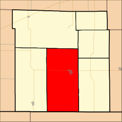
Location in Clark County
Coordinates: 37°11′20″N099°48′41″W / 37.18889°N 99.81139°W / 37.18889; -99.81139
Country United States
State Kansas
County Clark
Area
  Total
204.56 sq mi (529.82 km2)
  Land203.93 sq mi (528.17 km2)
  Water0.63 sq mi (1.64 km2)  0.31%
Elevation
2,005 ft (611 m)
Population
 (2000)
  Total
1,097
  Density5.4/sq mi (2.1/km2)
GNIS feature ID 0470813

Center Township is a township in Clark County, Kansas, United States. As of the 2000 census, its population was 1,097.

Contents

History

The Cimarron Redoubt, an Army fortification built in 1870, is located along Clark Creek (Redoubt Creek) south of its confluence with the Cimarron River, [1] in southern Clark Township. [2]

Geography

Center Township covers an area of 204.56 square miles (529.8 km2) and contains one incorporated settlement, Ashland (the county seat). According to the USGS, it contains one cemetery, Saint Josephs and Highland.

The streams of Big Sandy Creek, Bullard Creek, Casino Creek, East Branch Bear Creek, Keiger Creek, Little Sandy Creek, Redhole Creek, Redoubt Creek, Spring Creek, Stink Creek and West Branch Bear Creek run through this township.

Transportation

Center Township contains one airport or landing strip, Harold Krier Field.

References

  1. Stein, Martin. National Register of Historic Places Inventory/Nomination: Cimarron Redoubt . National Park Service, 1976-04-26, 9. Accessed 2009-09-09.
  2. DeLorme. Kansas Atlas & Gazetteer. 4th ed. Yarmouth: DeLorme, 2009, 70. ISBN   0-89933-342-7.