Related Research Articles

The St. Joseph River is an 86.1-mile-long (138.6 km) tributary of the Maumee River in northwestern Ohio and northeastern Indiana in the United States, with headwater tributaries rising in southern Michigan. It drains a primarily rural farming region in the watershed of Lake Erie.

The Feather River is the principal tributary of the Sacramento River, in the Sacramento Valley of Northern California. The river's main stem is about 73 miles (117 km) long. Its length to its most distant headwater tributary is just over 210 miles (340 km). The main stem Feather River begins in Lake Oroville, where its four long tributary forks join—the South Fork, Middle Fork, North Fork, and West Branch Feather Rivers. These and other tributaries drain part of the northern Sierra Nevada, and the extreme southern Cascades, as well as a small portion of the Sacramento Valley. The total drainage basin is about 6,200 square miles (16,000 km2), with approximately 3,604 square miles (9,330 km2) above Lake Oroville.

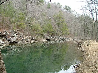
The Piney River is a 23.7-mile-long (38.1 km) tributary of the Duck River in Middle Tennessee in the United States. Via the Duck River, the Tennessee River, and the Ohio River, it is part of the Mississippi River watershed. The headwater tributaries of the Piney River rise in Dickson County, Tennessee, near the city of Dickson. Dickson is located on the "Tennessee Valley Divide", which corresponds for some distance with the downtown's Main Street. The western part of the town, the part in the Tennessee Valley, is drained by the East Piney River, a tributary to the Piney.

Canadarago Lake is a 1,917-acre (7.76 km2) lake located in Otsego County, New York and is the source of Oaks Creek. The Village of Richfield Springs is located at the lake's northern end. It is the second largest lake in Otsego County, lying to the west of and parallel to the larger Otsego Lake. The lake's name is also spelled "Candajarago Lake" or "Caniadaraga Lake".

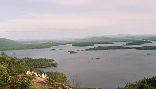
Squam Lake is a lake located in the Lakes Region of central New Hampshire, United States, south of the White Mountains, straddling the borders of Grafton, Carroll, and Belknap counties. The largest town center on the lake is Holderness. The lake is located northwest of much larger Lake Winnipesaukee.

The Chippewa River is a stream in Michigan, United States, that runs 91.8 miles (147.7 km) through the central Lower Peninsula. The Chippewa is a tributary of the Tittabawassee River and is thus part of the Saginaw River drainage basin. The river is named after the Chippewa people.
The Black River is a 41.1-mile-long (66.1 km) river on the Upper Peninsula of the U.S. state of Michigan, flowing mostly in Gogebic County into Lake Superior at 46°40′03″N90°02′57″W. Its source at 46°18′54″N90°01′15″W is a boreal wetland on the border with Iron County, Wisconsin. The northern section of the river, 14 miles (23 km) within the boundaries of the Ottawa National Forest, was designated a National Wild and Scenic River in 1992.

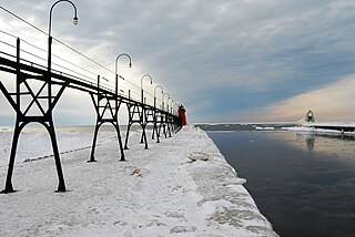
Black River is a 4.2-mile-long (6.8 km) river in the southwest part of the U.S. state of Michigan that empties into Lake Michigan in South Haven at 42°24′08″N86°17′04″W, where it discharges past the South Pier Lighthouse. The river takes its name from the dark brown color of its water, which is caused by suspended sediments and organic materials picked up along its course. The river supports a variety of wildlife including trout, snapping turtles, leeches, and many other varieties of flora and fauna. The Black River watershed encompasses 287 square miles (740 km2) across two counties and 13 townships.

Black River is an 81.0-mile-long (130.4 km) river in the U.S. state of Michigan, flowing into the St. Clair River in the city of Port Huron. The Black River Canal in northern Port Huron extends east into Lake Huron near Krafft Road.

The Cedar River is a 29.0-mile-long (46.7 km) river in the U.S. state of Michigan, flowing through Clare County and Gladwin County.

The Galien River is a 30.0-mile-long (48.3 km) stream in the southwest region of the U.S. state of Michigan. The river begins at the outlet of Dayton Lake and flows in a predominantly westerly direction until it enters southeastern Lake Michigan at New Buffalo. The South Branch Galien River rises just north of the border with Indiana, at the confluence of Spring Creek and the Galena River, the latter rising in LaPorte County, Indiana.

The Prairie River is a small river that flows 54 miles (87 km) through Branch and St. Joseph counties in Michigan. The river rises at 41°48′20″N85°00′54″W in northern Kinderhook Township in Branch County, and flows west-northwest into the St. Joseph River at 41°54′45″N85°38′21″W just south of the city of Three Rivers, Michigan.

Centerville is an unincorporated community in the Town of Trempealeau, Trempealeau County, Wisconsin, United States.
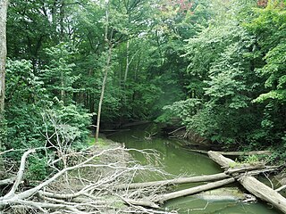
Nottawa Creek is a 33.9-mile-long (54.6 km) stream in the U.S. state of Michigan that flows into the St. Joseph River at 42°00′15″N85°23′40″W, approximately three miles east of the village of Mendon.

The Pine River is a 103-mile-long (166 km) river in the Lower Peninsula of the U.S. state of Michigan. The Pine River is a tributary of the Chippewa River and is thus part of the Saginaw River drainage basin.

Misteguay Creek is a tributary of the Flint River, 38.4 miles (61.8 km) long, on the central Lower Peninsula of Michigan in the United States. The stream drains an area of 174.4 square miles (452 km2) in predominantly agricultural areas of the Flint/Tri-Cities region. Via the Flint and Shiawassee rivers, it is part of the watershed of the Saginaw River, which flows to Saginaw Bay of Lake Huron. Via Lake Huron and the Great Lakes system, it is part of the larger watershed of the St. Lawrence River.

Deep River is a river that flows 29.5 miles (47.5 km) northeastly to the Little Calumet River in Lake County in northern Indiana in the United States. It is part of a fluvial system that drains about 10% of northern Indiana to Lake Michigan at Port of Indiana-Burns Harbor.
Wequaquet Lake is a 654 acres (265 ha) unstratified warmwater lake in Barnstable County, Massachusetts. It is located northwest of Hyannis with a dam at Phinneys Lane. Wequaquet Lake drains south via Centerville River which flows into the Atlantic Ocean. Wequaquet Lake is also known as Chequaquet Lake, Great Pond or Nine Mile Pond. The bottom is composed primarily of sand. The 7.5 miles of shoreline is heavily (90%) developed with cottages and year-round homes. Bearse Pond is connected to Wequaquet Lake by a narrow channel, other nearby ponds include Hathaways Pond and Shallow Pond.
Parkers River is a river in Barnstable County, Massachusetts. It drains out of Long Pond in West Yarmouth, flows through Seine Pond, and empties into the Nantucket Sound southeast of West Yarmouth. Named for Isaiah Parker who lived on the west bank of the river.
Shootflying Hill is a mountain in Barnstable County, Massachusetts. It is located north of Centerville in the Town of Barnstable. Clay Hill is located west and Cobbs Hill is located east-northeast of Shootflying Hill. Named for the early practice of Shooting geese and ducks as they passed over.
References
- ↑ "Centerville River". Geographic Names Information System . United States Geological Survey . Retrieved 2018-08-18.
- ↑ "Centerville Harbor". Geographic Names Information System . United States Geological Survey . Retrieved 2018-08-18.