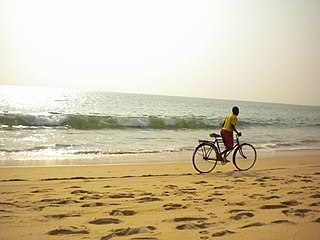
Cerca | |
|---|---|
| Country | |
| Province | Cuanza Norte |
| Time zone | UTC+1 (WAT) |
| Climate | Aw |
Cerca is a town and commune of Angola, located in the province of Cuanza Norte. [1] [2]
Cerca | |
|---|---|
| Country | |
| Province | Cuanza Norte |
| Time zone | UTC+1 (WAT) |
| Climate | Aw |
Cerca is a town and commune of Angola, located in the province of Cuanza Norte. [1] [2]

Bié is a province of Angola located on the Bié Plateau in central part of country. Its capital is Kuito, which was called Silva Porto until independence from Portugal in 1975. The province has an area of 70,314 square kilometres (27,148 sq mi) and a population of 1,455,255 in 2014. The current governor of Bié is José Amaro Tati.

The Cuanza Norte Province is province of Angola. N'dalatando is the capital and the province has an area of 24,110 km² and a population of 443,386. Manuel Pedro Pacavira was born here and is a former provincial governor. The 1,400 meter long Capanda Dam is located in this province. Cuanza Norte lies on the northern bank of the Cuanza River. It had been a territory of Ngola Kingdom. In 1914, Norton de Matos created District of Cuanza which was divided into Cuanza Norte and Cuanza Sul Provinces in 1917.
Dando is a commune of Angola, located in the province of Bié.
Cachingues is a city and commune of Angola, located in the province of Bié.
Cutuile is a city and commune of Angola, located in the province of Cuando Cubango. As of 2014, the commune had a population of 2,334 people over an area of 6,470 square kilometres (2,500 sq mi).
Luengue is a city and commune of Angola, located in the province of Cuando Cubango. As of 2014, the city had a population of 3,457 people over an area of 18,900 square kilometres (7,300 sq mi).
São Pedro da Quilemba is a town and commune of Angola, located in the province of Cuanza Norte.
Alto Hama is a town, with a population of 17,000 (2014), and a commune of Angola, located in the province of Huambo.
Huíla (commune) is a town and commune of Angola, located in the province of Huíla.
Gungui is a town and commune of Angola, located in the province of Huíla.
Calepi is a town and commune of Angola, located in the province of Huíla.
Cutenda is a town and commune of Angola, located in the province of Huíla.
Bambi is a town and commune of Angola, located in the province of Huíla.
Chimbemba is a town and commune of Angola, located in the province of Huíla.
Tchamutete is a town and commune of Angola, located in the province of Huíla.
Dinde is a town and commune of Angola, located in the province of Huíla.
Tchiconco is a town and commune of Angola, located in the province of Huíla.

Cabo Ledo is a commune in the municipality of Quicama, Luanda Province, Angola.
Quibocolo is a town and commune of Angola, located in the province of Uíge.
Kiende is a commune of Angola, located in the province of Zaire.