| Cerro de la Virgen | |
|---|---|
| Highest point | |
| Elevation | 1,833 m (6,014 ft) |
| Prominence | 135 m (443 ft) |
| Coordinates | 43°46′30″S71°40′00″W / 43.77500°S 71.66667°W |
| Geography | |
| Location | Languiñeo Department, Chubut Province, Argentina Palena Commune, Los Lagos Region, Chile |
| Parent range | Andes |
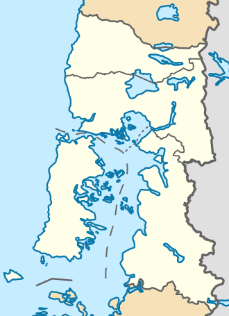
The Cerro de la Virgen is a mountain on the border between Argentina and Chile, located in Chubut Province (Argentina) and the Palena Commune of the Los Lagos Region (Chile). It was named by Argentine engineer Gunnar Lange in 1902 on his map used in the 1902 arbitral award. It is the source of the El Salto River. Until 1966, Chile claimed the entire mountain, while Argentina considered it a boundary feature during the Alto Palena–Encuentro River dispute. Lange mistakenly identified the El Salto River as the Encuentro River, placing the origin of the latter at Cerro de la Virgen. However, the Encuentro River actually originates from the Picacho de la Virgen, which was named after the homonymous hill. [1] The 1966 arbitral award established it as a boundary peak.
Contents
It reaches an elevation of 1,833 meters above sea level, with a topographic prominence of approximately 135 meters above the surrounding terrain. The base of the mountain covers an area of roughly 1.2 km. [n 1]
