| Chamberlain Brook | |
|---|---|
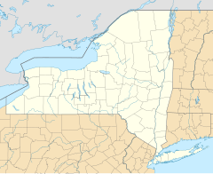 Location of the mouth of Chamberlain Brook | |
| Country | United States |
| State | New York |
| County | Delaware |
| Physical characteristics | |
| Source | |
| - coordinates | 42°08′47″N75°16′09″W / 42.1464734°N 75.2690619°W |
| River mouth | Cannonsville Reservoir |
| - coordinates | 42°07′01″N75°16′28″W / 42.1170292°N 75.2743395°W Coordinates: 42°07′01″N75°16′28″W / 42.1170292°N 75.2743395°W [1] |
| - elevation | 1,148 ft (350 m) |
Chamberlain Brook is a river in Delaware County, New York. It flows into Cannonsville Reservoir west-northwest of Rock Rift. [1]