It is proposed that this article be deleted because of the following concern:
If you can address this concern by improving, copyediting, sourcing, renaming, or merging the page, please edit this page and do so. You may remove this message if you improve the article or otherwise object to deletion for any reason. Although not required, you are encouraged to explain why you object to the deletion, either in your edit summary or on the talk page. If this template is removed, do not replace it . The article may be deleted if this message remains in place for seven days, i.e., after 14:43, 7 February 2019 (UTC). Find sources: "Cherry Orchard Road" – news · newspapers · books · scholar · JSTOR |
This article needs to be updated.(March 2018) |
This article includes a list of references, related reading or external links, but its sources remain unclear because it lacks inline citations .(April 2014) (Learn how and when to remove this template message) |

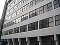
Cherry Orchard Road is a road and building development in East Croydon, London. The street is part of the longer A222 road for all of its length. This road carries on to Old Bexley and passes a major junction with the A20 dual-carriageway to Central London and Dover, and the A21 road with connections with Hastings and Lewisham.

Croydon is a large town in south London, England, 9.5 miles (15.3 km) south of Charing Cross. The principal settlement in the London Borough of Croydon, it is one of the largest commercial districts outside Central London, with an extensive shopping district and night-time economy.
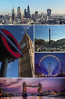
London is the capital and largest city of both England and the United Kingdom. Standing on the River Thames in the south-east of England, at the head of its 50-mile (80 km) estuary leading to the North Sea, London has been a major settlement for two millennia. Londinium was founded by the Romans. The City of London, London's ancient core − an area of just 1.12 square miles (2.9 km2) and colloquially known as the Square Mile − retains boundaries that follow closely its medieval limits. The City of Westminster is also an Inner London borough holding city status. Greater London is governed by the Mayor of London and the London Assembly.

The A20 is a major road in south-east England, carrying traffic from London to Dover in Kent. Parts of the route date back to turnpikes established in the early part of the 18th century. The line of the road throughout Kent runs closely in parallel with the M20 motorway.
The road joins Addiscombe with East Croydon, and is close to East Croydon station.

Addiscombe is an area of south London, England, within the London Borough of Croydon. It is located 9.1 miles (15 km) south of Charing Cross and lies within the Historic County of Surrey. Addiscombe is a ward, and had a population of 16,883 in 2011.

East Croydon is a railway station and tram stop in the town of Croydon, Greater London, England, and is in Travelcard Zone 5. It is 10 miles 28 chains measured from London Bridge. It is one of the busiest non-terminal stations in London, as well as in the United Kingdom as a whole. It is one of three railway stations in the London Borough of Croydon with Croydon in their name, the others being West Croydon and South Croydon.