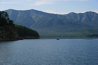
Lake Baikal is the deepest rift lake in the world. It is situated in southern Siberia, Russia between the federal subjects of Irkutsk Oblast to the northwest and the Republic of Buryatia to the southeast.

The Upper Angara is a river in Buryatia, Siberia to the northeast of Lake Baikal. the third longest river in the Baikal basin. It is 438 kilometres (272 mi) long, and has a drainage basin of 21,400 square kilometres (8,300 sq mi).
Landforms are categorized by characteristic physical attributes such as their creating process, shape, elevation, slope, orientation, rock exposure, and soil type.

A spit or sandspit is a deposition bar or beach landform off coasts or lake shores. It develops in places where re-entrance occurs, such as at a cove's headlands, by the process of longshore drift by longshore currents. The drift occurs due to waves meeting the beach at an oblique angle, moving sediment down the beach in a zigzag pattern. This is complemented by longshore currents, which further transport sediment through the water alongside the beach. These currents are caused by the same waves that cause the drift.

Barrier islands are a coastal landform, a type of dune system and sand island, where an area of sand has been formed by wave and tidal action parallel to the mainland coast. They usually occur in chains, consisting of anything from a few islands to more than a dozen. They are subject to change during storms and other action, but absorb energy and protect the coastlines and create areas of protected waters where wetlands may flourish. A barrier chain may extend for hundreds of kilometers, with islands periodically separated by tidal inlets. The largest barrier island in the world is Padre Island of Texas, United States, at 113 miles (182 km) long. Sometimes an important inlet may close permanently, transforming an island into a peninsula, thus creating a barrier peninsula, often including a beach, barrier beach. Though many are long and narrow, the length and width of barriers and overall morphology of barrier coasts are related to parameters including tidal range, wave energy, sediment supply, sea-level trends, and basement controls. The amount of vegetation on the barrier has a large impact on the height and evolution of the island.
The Mud Islands reserve is located within Port Phillip, about 90 km (56 mi) south-west of Melbourne, Australia, lying 10 km (6.2 mi) inside Port Phillip Heads, 7 km (4.3 mi) north of Portsea and 9 km (5.6 mi) east of Queenscliff. The land area of about 50 hectares is made up of three low-lying islands surrounding a shallow tidal 35-hectare (86-acre) lagoon connected to the sea by three narrow channels. The shapes and configuration of the islands change over the years due to movement of sand by tidal currents.

South Bass Island is a small island in western Lake Erie, and a part of Ottawa County, Ohio, United States. It is the southernmost of the three Bass Islands and located 3 miles (4.6 km) from the south shore of Lake Erie. It is the third largest island in the Lake Erie Islands, and is part of Put-in-Bay Township. In the bay of South Bass is Gibraltar Island, home to the Ohio State University's Stone Laboratory.

Barguzinsky Nature Reserve is the oldest of zapovedniks, established in 1916 for the protection of the Barguzin sable. It is located in Buryatia (Russia) on the west slope of the Barguzinsky Range, including the northeast shores of the Lake Baikal and a part of the lake itself. The area of the reserve is 2,482 km2 (958 sq mi), covering several types of boreal ecosystems, from bogs and taiga coniferous forests to subalpine meadows and mountain tundras. The landscape is postglacial, featuring rugged highlands, long river valleys and outwash, alluvial and lacustrine plains.

Kyaukpyu District is a district of the Rakhine State in western Myanmar. The capital lies at Kyaukphyu.

The Ebelyakh Bay or Ebelyakhskaya Bay is a bay in the Laptev Sea. It is located in Ust-Yansky District, Sakha Republic, Russian Federation.
Nuussuaq Peninsula is a mainland peninsula in northwestern Greenland, located at the northern end of Upernavik Archipelago, approximately 70 km (43 mi) to the south of Melville Bay. It is much smaller than its namesake in western Greenland.

Zaybaykalsky National Park covers the middle section of the eastern shore of Lake Baikal, the west slope of the Barguzin mountains to the east, the Ushkany Islands, and the only large peninsula on the lake, Svyatoy Nos. Of the 2,690 km2 (1,040 sq mi) of the park, 38.8 km2 are protected water areas of the lake itself.

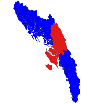
The Republic of Buryatia is a federal subject of Russia which, according to the IMF, was an emerging economy in 2011.

The Transbaikal conifer forests ecoregion covers a 1,000 km by 1,000 km region of mountainous southern taiga stretching east and south from the shores of Lake Baikal in the Southern Siberia region of Russia, and including part of northern Mongolia. Historically, the area has been called "Dauria", or Transbaikal. It is in the Palearctic realm, and mostly in the boreal forests/taiga biome with a subarctic, humid climate. It covers 200,465 km2 (77,400 sq mi).

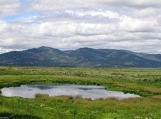
Dzherginsky Nature Reserve is a Russian 'zapovednik', located about 100 km east of the northern section of Lake Baikal. It covers the source and upper reaches of the Barguzin River, the second largest tributary to Lake Baikal, and is at the junction of three mountain ranges - the Barguzin Range to the west of the reserve, the Ikat Range and the Southern Muya Range. The reserve's mountainous territory is dominated by larch forests. It is situated in the Kurumkansky District of Buryatia. The nearest city, Ulan-Ude, is 560 km to the south. The reserve was formally established in 1992 to protect the biodiversity of the upper Barguzin valley, and to study natural processes of the area. It covers an area of 238,088 hectares (919.26 sq mi).
Wooden Boy is a small island in Khövsgöl Lake, Mongolia. The island is roughly elliptical, measuring 3 km east–west and 2 km north–south. It is located about 11 km from the lake's eastern shore, and 50 km north of the town of Hatgal.

Svyatoy Nos is a large peninsula on the eastern edge of Lake Baikal, Eastern Siberia, in the Barguzinsky District of the Republic of Buryatia. It is part of the Zabaykalsky (Trans-Baikal) National Park.

Barguzin Bay is a branch of Lake Baikal, in the Republic of Buryatia; part of it lies in the Zabaykalsky (Trans-Baikal) National Park. The bay is named after the Barguzin River that flows into it from the eastern side of the lake.

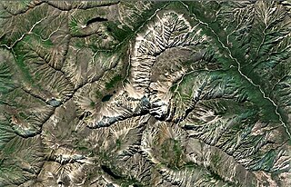
Pik Baikal is a mountain in the Barguzin Range, Buryatia, Russian Federation. This peak is located to the east of the eastern shore of neighboring Lake Baikal.


