Columbia City is a city in Columbia Township, Whitley County, Indiana, United States. The population was 9,892 at the 2020 Census, up from 8,750 at the 2010 Census, estimated to be 10,064 in 2023. The city is the county seat of Whitley County, and is the largest community therein. It is part of the Fort Wayne MSA.

Larwill is a town in Richland Township, Whitley County, in the U.S. state of Indiana. The population was 283 at the 2010 census.
Collamer is an unincorporated community in Cleveland Township, Whitley County, Indiana, United States, located on the Eel River and at the intersection of Indiana State Road 14 and Whitley County road 900 W. Smith Rambo platted the town February 9, 1846. Collamer is named after Jacob Collamer, 13th United States Postmaster General.

Tipton Township is one of fourteen townships in Cass County, Indiana, United States. As of the 2020 census, its population was 2,304 and contained 1,011 housing units.

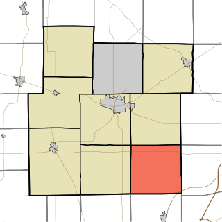
Cleveland Township is one of nine townships in Whitley County, Indiana, United States. As of the 2020 census, its population was 3,324 and it contained 1,398 housing units.
Jefferson Township is one of nine townships in Whitley County, Indiana, United States. As of the 2020 census, its population was 2,232 and it contained 905 housing units.

Tri-Lakes is an unincorporated community and census-designated place in Thorncreek and Smith townships in Whitley County, Indiana, United States.

Etna is an unincorporated town in Etna-Troy Township, Whitley County, in the U.S. state of Indiana.
Peabody is an unincorporated community in Washington Township, Whitley County, in the U.S. state of Indiana.
Tunker is an unincorporated community in Washington Township, Whitley County, in the U.S. state of Indiana.
Fountaintown is an unincorporated community in Van Buren Township, Shelby County, in the U.S. state of Indiana.
Grantsburg is an unincorporated community and Census-designated place in Union Township, Crawford County, Indiana.
Centerton is an unincorporated community and census-designated place (CDP) in Clay Township, Morgan County, in the U.S. state of Indiana.
Carrollton is an unincorporated community in Brandywine Township, Hancock County, Indiana.
Chili (Cheye-leye) is an unincorporated community and census-designated place in Richland Township, Miami County, in the U.S. state of Indiana.
Miami is an unincorporated community and census-designated place (CDP) in Deer Creek Township, Miami County, in the U.S. state of Indiana.
North Grove is an unincorporated community and census-designated place (CDP) in Harrison Township, Miami County, in the U.S. state of Indiana.
Bennetts Switch is an unincorporated community and census-designated place (CDP) in Deer Creek Township, Miami County, in the U.S. state of Indiana.
Glezen is a Census designated place in Patoka Township, Pike County, in the U.S. state of Indiana.
Groveland is an unincorporated community in Floyd Township, Putnam County, in the U.S. state of Indiana.