Apolo is a location in the Franz Tamayo Province in the La Paz Department, Bolivia, South America, with a population of 2,123 in the year 2001. It is the seat of the Apolo Municipality.
Ayopaya or Independencia is a town in the Cochabamba Department, Bolivia. It is the capital of the Ayopaya Province and Ayopaya Municipality. At the time of census 2001 it had a population of 2,014.
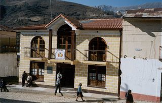
Inquisivi is the capital of the Inquisivi Province in the La Paz Department, Bolivia. It was officially named on November 2, 1844. Residents of Inquisivi are called Inquisivenos.

Achacachi is a town on the Altiplano plateau in the South American Andes in the La Paz Department in Bolivia. It is the capital of the Omasuyos Province.
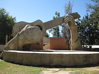
Aiquile is a town in the Cochabamba Department, Bolivia. It is the capital of the Narciso Campero Province and Aiquile Municipality. Most of its population is Quechua, and its residents are reputed to be the best charango makers in the country.
Anzaldo is a location in the Cochabamba Department in central Bolivia. It is the seat of the Anzaldo Municipality, the second municipal section of the Esteban Arce Province.

Chulumani is a municipality in Bolivia. It is the capital of the Sud Yungas region. Agriculture dominates the area, which produces bananas, coffee, and coca leaves. Chulumani is subtropical with warm temperatures and high humidity.
Batallas is a location in the La Paz Department in Bolivia. It is the seat of the Batallas Municipality, one of the four municipalities of the Los Andes Province.
Caquiaviri is a location in the La Paz Department in Bolivia. It is the seat of the Caquiaviri Municipality, the second municipal section of the Pacajes Province.
Charaña is a high elevation town in the altiplano of the La Paz Department in Bolivia. It is the seat of the Charaña Municipality, the fifth municipal section of the Pacajes Province.
Coripata is a town in the La Paz Department, Bolivia.

Irupana is a location in the La Paz Department in Bolivia. It is the seat of the Irupana Municipality, the second municipal section of the Sud Yungas Province.
Santiago de Andamarca is a small location in Bolivia in the Oruro Department, Sud Carangas Province. It is the seat of the Santiago de Andamarca Municipality. In 2010 the village had an estimated population of 374.
Ascensión de Guarayos is a town in Bolivia. In 2010 it had an estimated population of 18,816.

Culpina is a small town in Bolivia. In 2010 it had an estimated population of 2,747.

Curahuara de Carangas is a small town in the Bolivian Oruro Department. It is the seat of the Sajama Province. In 2009 it had an estimated population of 1,581.
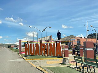
Huarina is a location in the La Paz Department in Bolivia. It is the seat of the Huarina Municipality, one of the four municipalities of the Omasuyos Province. President of Peru Andrés de Santa Cruz was born here.

Bermejo is a city in Bolivia, south of the Tariquía Flora and Fauna National Reserve. It is in a broad, open valley of the Cordillera Central range that extends southward into Argentina, and is on the Bermejo River, locally the border between Bolivia and Argentina.
Colcha K is a village serving as the capital of Nor Lípez Province, in the Potosí Department of Bolivia. It is also the capital of the Colcha "K" Canton and Colcha "K" Municipality.
Betanzos is a town located in the Potosí Department of Bolivia. It is the capital of the Betanzos Canton, Betanzos Municipality and Cornelio Saavedra Province.

