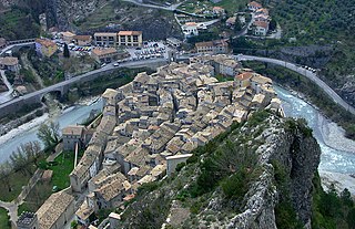
The Var is a river located in the southeast of France. It is 114 km (71 mi) long. Its drainage basin is 2,812 km2 (1,086 sq mi).

Computational fluid dynamics (CFD) is a branch of fluid mechanics that uses numerical analysis and data structures to analyze and solve problems that involve fluid flows. Computers are used to perform the calculations required to simulate the free-stream flow of the fluid, and the interaction of the fluid with surfaces defined by boundary conditions. With high-speed supercomputers, better solutions can be achieved, and are often required to solve the largest and most complex problems. Ongoing research yields software that improves the accuracy and speed of complex simulation scenarios such as transonic or turbulent flows. Initial validation of such software is typically performed using experimental apparatus such as wind tunnels. In addition, previously performed analytical or empirical analysis of a particular problem can be used for comparison. A final validation is often performed using full-scale testing, such as flight tests.
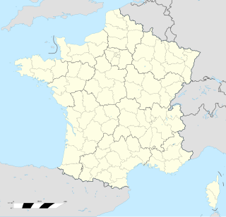
Lullin is a commune in the Haute-Savoie department in the Auvergne-Rhône-Alpes region in south-eastern France. It borders the communes of Vailly, Orcier, Habère-Poche and Bellevaux. The river Follaz goes through the town before flowing into the river Brevon, which in turn flows into the river Dranse, which eventually flows into Lake Geneva . The commune of Lullin includes several hamlets such as Pimberty, La Siaux, la Touvière, La Grange des Bois, Le Feu, Très-le-Mont, Chez Dagain, Vauverdanne, Monterrebout, Les Courbes, Les Granges, Recueillères. Its highest point is Mont Forchat (1545m).

Allemans is a commune in the Dordogne department in Nouvelle-Aquitaine in southwestern France.

Castelnaud-la-Chapelle is a commune in the Dordogne department in Nouvelle-Aquitaine in southwestern France.
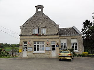
Chermizy-Ailles is a commune in the Aisne department in Hauts-de-France in northern France.

Braux is a commune in the Alpes-de-Haute-Provence department in southeastern France.

Les Gonds is a commune in the Charente-Maritime department in southwestern France.

Condat-sur-Trincou is a commune in the Dordogne department in Nouvelle-Aquitaine in southwestern France.

Gondrin is a commune in the Gers department in southwestern France.

Goutz is a commune in the Gers department in southwestern France.
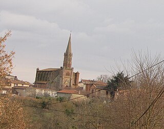
Le Fousseret is a commune and a large village in the Haute-Garonne department in southwestern France.

Paulhaguet is a commune in the Haute-Loire department in south-central France.

Chavanoz is a commune in the Isère department in southeastern France.

Alliancelles is a commune in the Marne department in northeastern France.
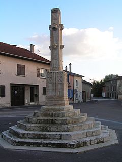
Vitry-en-Perthois is a commune in the Marne department in north-eastern France.

Saint-Éloy-les-Mines is a commune in the Puy-de-Dôme department in Auvergne in central France.

Pont-lès-Bonfays is a commune in the Vosges department in Grand Est in northeastern France.

Les Vallois is a commune in the Vosges department in Grand Est in northeastern France.
Le Couteur Glacier is a glacier, 15 nautical miles (28 km) long, which drains the northwest slopes of Mount Hall and Mount Daniel and flows north along the west side of the Lillie Range to the Ross Ice Shelf, Antarctica. It was named by the Southern Party of the New Zealand Geological Survey Antarctic Expedition (1963–64) for P. C. Le Couteur, a geologist with the New Zealand Federated Mountain Clubs Antarctic Expedition, 1962–63.


